

- Usage in publication:
-
- Moonshine Creek Latite*
- Modifications:
-
- Named
- Dominant lithology:
-
- Latite
- AAPG geologic province:
-
- Great Basin province
Summary:
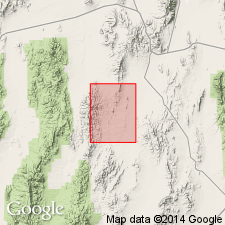
Named for Moonshine Creek in southwestern Cockalorum Wash 15' quad, Nye Co, NV. Type section designated as exposures on east side of upper Moonshine Creek, sec.15 T13.5N R51E. Consists of pale-brown to pale-red vuggy andesitic lava. Sequence is metaluminous with average SiO2 content of about 60%. Is 200 m thick at southwest corner of quad [near Moonshine Creek]. Unconformably overlies Mulligan Canyon Rhyolite (new). Age is Oligocene based on stratigraphic relations.
Source: GNU records (USGS DDS-6; Menlo GNULEX).
For more information, please contact Nancy Stamm, Geologic Names Committee Secretary.
Asterisk (*) indicates published by U.S. Geological Survey authors.
"No current usage" (†) implies that a name has been abandoned or has fallen into disuse. Former usage and, if known, replacement name given in parentheses ( ).
Slash (/) indicates name conflicts with nomenclatural guidelines (CSN, 1933; ACSN, 1961, 1970; NACSN, 1983, 2005, 2021). May be explained within brackets ([ ]).