

- Usage in publication:
-
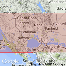
- Montezuma formation*
- Modifications:
-
- Original reference
- Dominant lithology:
-
- Gravel
- Sand
- Clay
- AAPG geologic province:
-
- Northern Coast Range province
- Sacramento basin
Summary:
Pg. 16 (table 3), 103-106, pls. 6, 7, 9, 10. Montezuma formation. Composed of deposits of obscurely stratified gravels, sands, and clays that have been uplifted into terraces and dissected by steam erosion. Unconformably overlies Wolfskill, Huichica, and Glen Ellen formations (all new). Deposits may have once connected with gravel and sands of same age and lithologic composition which crop out along northern flank of Los Medanos Hills and south of Pittsburg from which place the formation was named and described by Tolman (1941) as Pittsburg formation; because this name is preoccupied, Montezuma is proposed.
Named from Montezuma Hills in Antioch 15-min quadrangle, Solano Co., northwestern CA.
Source: US geologic names lexicon (USGS Bull. 1200, p. 2570).
For more information, please contact Nancy Stamm, Geologic Names Committee Secretary.
Asterisk (*) indicates published by U.S. Geological Survey authors.
"No current usage" (†) implies that a name has been abandoned or has fallen into disuse. Former usage and, if known, replacement name given in parentheses ( ).
Slash (/) indicates name conflicts with nomenclatural guidelines (CSN, 1933; ACSN, 1961, 1970; NACSN, 1983, 2005, 2021). May be explained within brackets ([ ]).