

- Usage in publication:
-
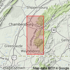
- Montalto quartzite member*
- Modifications:
-
- Named
- Dominant lithology:
-
- Quartzite
- AAPG geologic province:
-
- Piedmont-Blue Ridge province
Summary:
Named the Montalto quartzite member of the Harpers formation for Montalto Mountain, Franklin Co., PA. Consists of hard quartzitic stratum, usually dark gray and veined with quartz. In South Mountain area, it occurs near the middle of the Harpers formation. Unit is of Early Cambrian age.
Source: GNU records (USGS DDS-6; Reston GNULEX).
- Usage in publication:
-
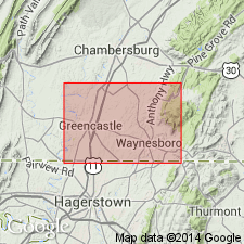
- Mont Alto [sic] Quartzite Member
- Modifications:
-
- Overview
- AAPG geologic province:
-
- Piedmont-Blue Ridge province
Summary:
The Mont Alto [sic] Quartzite Member is the middle member of the Harpers Formation in PA and consists of massive hard, white quartzite that is several hundred feet thick. Unit forms smooth topped, high wooded ridges and densely forested intermontane valleys with clayey and sandy soil. The Mont Alto [sic] thickens to the north.
Source: GNU records (USGS DDS-6; Reston GNULEX).
- Usage in publication:
-
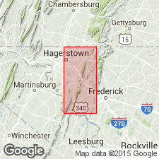
- Montalto Member
- Modifications:
-
- Areal extent
- AAPG geologic province:
-
- Piedmont-Blue Ridge province
Summary:
Geographically extended the Montalto Member of the Harpers Formation into MD. Unit occurs as a member of the Harpers near the PA state line and it occurs as tongues of sandstone within the predominant siltstone of the Harpers elsewhere in MD. Consists of light-gray, coarse-grained quartzite. Overlies the Weverton Formation and underlies the remainder of the Harpers Formation.
Source: GNU records (USGS DDS-6; Reston GNULEX).
For more information, please contact Nancy Stamm, Geologic Names Committee Secretary.
Asterisk (*) indicates published by U.S. Geological Survey authors.
"No current usage" (†) implies that a name has been abandoned or has fallen into disuse. Former usage and, if known, replacement name given in parentheses ( ).
Slash (/) indicates name conflicts with nomenclatural guidelines (CSN, 1933; ACSN, 1961, 1970; NACSN, 1983, 2005, 2021). May be explained within brackets ([ ]).