The National Geologic Map Database is migrating to a new infrastructure. We apologize for any service disruptions during this process.
|
|---|


- Usage in publication:
-
- Monrovian Park latite member*
- Modifications:
-
- Named
- Dominant lithology:
-
- Latite
- AAPG geologic province:
-
- Wasatch uplift
Summary:
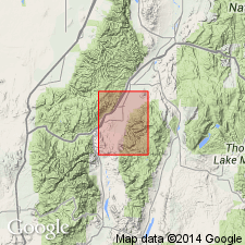
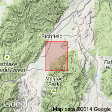
Named as a member of Bullion Canyon volcanics for exposures in Monroe Canyon, one-half mile from Monrovian Park, T25S, R2 1/2W, Sevier Co, UT on the Wasatch uplift. Called Monrovian Park porphyritic latite member on map. No type locality designated. Consists of conspicuous gray porphyritic [latite] flows about 500 ft thick in the Park. Extends north of First Lefthand Fork. Thins and disappears 2 1/2 mi south of Monroe Canyon. A few lenses of tuff occur in member. Has abundant phenocrysts of andesine (as much as 10 mm across), augite, hypersthene, magnetite crystals. Groundmass is a mosaic of tiny grains of plagioclase, magnetite, quartz, and feldspar. Overlain and underlain by unnamed parts of Bullion Canyon. Of Miocene? age, probably not older than Oligocene. May be early Miocene.
Source: GNU records (USGS DDS-6; Denver GNULEX).
- Usage in publication:
-
- Monrovian Park Latite Member*
- Modifications:
-
- Age modified
- AAPG geologic province:
-
- Wasatch uplift
Summary:
As a member of Bullion Canyon Volcanics, age changed from Miocene? to Miocene or Oligocene. Changed based not on new information but on use of 24 m.y. as the Miocene-Oligocene boundary. Mapped area is in the Wasatch uplift.
Source: GNU records (USGS DDS-6; Denver GNULEX).
For more information, please contact Nancy Stamm, Geologic Names Committee Secretary.
Asterisk (*) indicates published by U.S. Geological Survey authors.
"No current usage" (†) implies that a name has been abandoned or has fallen into disuse. Former usage and, if known, replacement name given in parentheses ( ).
Slash (/) indicates name conflicts with nomenclatural guidelines (CSN, 1933; ACSN, 1961, 1970; NACSN, 1983, 2005, 2021). May be explained within brackets ([ ]).