The National Geologic Map Database is migrating to a new infrastructure. We apologize for any service disruptions during this process.
|
|---|


- Usage in publication:
-
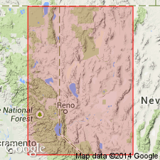
- Mono Basin Formation
- Modifications:
-
- Named
- AAPG geologic province:
-
- Great Basin province
Summary:
Unit is named the Mono Basin Formation. Is exposed in the Mono Lake and Lake Lahontan areas, NV and CA. Is divided into the Carson Sink Bed (new) and the Salt Wells Member (new) which, in turn, contains the Walker Lake Bed (new) and the Turupah Flat Bed (new). Consists of tephra, the source of which is believed to be Mono basin in eastern CA because of its similarity in petrography and age to known tephra from Mono basin and its geographic distribution, which is limited to the area south of Carson Sink. Age is Pleistocene and Holocene, 35 to 0.6 ka. (B1565)
Source: GNU records (USGS DDS-6; Menlo GNULEX).
For more information, please contact Nancy Stamm, Geologic Names Committee Secretary.
Asterisk (*) indicates published by U.S. Geological Survey authors.
"No current usage" (†) implies that a name has been abandoned or has fallen into disuse. Former usage and, if known, replacement name given in parentheses ( ).
Slash (/) indicates name conflicts with nomenclatural guidelines (CSN, 1933; ACSN, 1961, 1970; NACSN, 1983, 2005, 2021). May be explained within brackets ([ ]).