

- Usage in publication:
-
- Moncrief gravel
- Modifications:
-
- Named
- Dominant lithology:
-
- Gravel
- AAPG geologic province:
-
- Powder River basin
Summary:
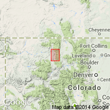
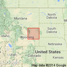
Named from excellent exposures on Moncrief Ridge, Sheridan Co, WY, Powder River basin. North face of ridge, secs 34, 35, T54N, R84W designated the type locality. Previously described as a glacial deposit, a late Tertiary-Quaternary bench gravel, and a coarse phase of early Tertiary basin fill. May be gradational into fine-grained Wasatch formation, separated from pre-Tertiary rocks by thrust faults, and unconformably over Kinsbury conglomerate depending on location. Lower boundary placed at lowermost and outermost gravel consisting primarily of pre-Cambrian debris. Is 485 ft thick on north face Moncrief Ridge; maximum observed thickness 1,400 ft. Composed of white, tan to gray, usually horizontally bedded, subangular to rounded boulders of granite 1-5 ft in diameter. Other lithologies in gravel are pegmatite, diabase, hornblende, gneiss, and schist. Paleozoic rocks scarce but do make up as much as 15 percent of lower part. Has some arkose and micaceous siltstone. Cementation is poor. Some coalified debris. Deposited as a series of coarse bouldery fans along east base, Big Horn Mountains in early Tertiary, probably Eocene, after a second period of uplift. Geologic map. Cross sections.
Source: GNU records (USGS DDS-6; Denver GNULEX).
- Usage in publication:
-
- Moncrief member*
- Modifications:
-
- Revised
- AAPG geologic province:
-
- Powder River basin
Summary:
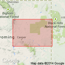
Moncrief assigned as upper member of Wasatch formation on west side of Powder River basin. Mapped from west of Buffalo area north to T54N, R84W in 4 separate areas. [Statement explaining new stratigraphic rank (member rather than formation as in earlier reports) not included in report.] Described as a conglomerate of pre-Cambrian rock fragments, sandstone, and drab shale above the Kingsbury conglomerate member of Wasatch. Next younger unit in map area is the White River formation. Of Eocene age.
Source: GNU records (USGS DDS-6; Denver GNULEX).
- Usage in publication:
-
- Moncrief equivalent*
- Modifications:
-
- Mapped 1:48k
- AAPG geologic province:
-
- Powder River basin
Summary:
South of the southernmost limit of the Kingsbury conglomerate member of the Wasatch formation in T48N, R82W, Johnson Co, WY, Powder River basin, the Wasatch is not divided on the geologic map, but equivalents of both the Kingsbury and the younger Moncrief member are recognizable. The upper part of the Wasatch, the lateral equivalent of the Moncrief consists of soft argillaceous sandstone, siltstone, shale, and six major coal beds. The coal and carbonaceous shales grade south into coarse-grained tan sandstone and gray siltstone. Eocene age.
Source: GNU records (USGS DDS-6; Denver GNULEX).
- Usage in publication:
-
- Moncrief Member
- Modifications:
-
- Not used
Summary:
Name Moncrief Member of Wasatch Formation not used. Map unit designated "conglomerate" and assigned a late Miocene age (may be Pliocene also). Authors agree with Darton who in 1906 believed this conglomerate to be a remnant of a bench gravel of post-Arikaree age which extended all along the east-central front of the Big Horn Mountains. Conglomerate unconformably overlies Kingsbury Conglomerate Member of Wasatch with angular discordance of 25 deg to 60 deg. This unconformity is correlative with the unconformity at the base of the Ogallala Formation (upper Miocene) which extends across most of southeastern WY.
Source: GNU records (USGS DDS-6; Denver GNULEX).
For more information, please contact Nancy Stamm, Geologic Names Committee Secretary.
Asterisk (*) indicates published by U.S. Geological Survey authors.
"No current usage" (†) implies that a name has been abandoned or has fallen into disuse. Former usage and, if known, replacement name given in parentheses ( ).
Slash (/) indicates name conflicts with nomenclatural guidelines (CSN, 1933; ACSN, 1961, 1970; NACSN, 1983, 2005, 2021). May be explained within brackets ([ ]).