

- Usage in publication:
-
- Moffits Mill Complex
- Modifications:
-
- Named
- Dominant lithology:
-
- Schist
- Metagraywacke
- AAPG geologic province:
-
- Piedmont-Blue Ridge province
Summary:
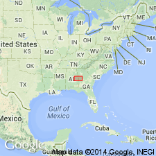
Name attributed to unpublished report on Lee Co., east-central AL, by Bentley. [Derivation of name not stated.] Occurs in western part of Uchee block, and is well exposed along Uchee and Whites Creeks. Consists of interlayered metasubgraywackes and biotite-epidote-muscovite-quartz schist. Schist beds range from 0.25 to 5 in thick; intervening metasubgraywacke forms layers 2-3 ft thick, with a few layers as thick as 20-50 ft. Total thickness of unit is approx 3000 ft. [Contact relations and age not stated.] Report includes geologic map. [In places in report, apparently inadvertently used as Moffits Mill Schist.]
Source: GNU records (USGS DDS-6; Reston GNULEX).
- Usage in publication:
-
- Moffits Mill Schist
- Modifications:
-
- Overview
- AAPG geologic province:
-
- Piedmont-Blue Ridge province
Summary:
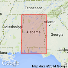
Used as Moffits Mill Schist. Type locality given as exposures at site of old Moffits Mill on Little Uchee Creek, T18N, R28E, sec. 36, Lee Co., east-central AL. Report includes correlation chart.
Source: GNU records (USGS DDS-6; Reston GNULEX).
- Usage in publication:
-
- Moffits Mill Schist*
- Modifications:
-
- Overview
- AAPG geologic province:
-
- Piedmont-Blue Ridge province
Summary:
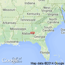
Authors follow terminology of Bentley and Neathery (1970) and Thomas and Neathery (1980, IN Frey, ed., Excursions in southeastern geology, v. 2: Geological Society of America Field Trip Guidebook no. 21, p. 465-526.). Included in Uchee belt. Consists of interlayered quartz-rich schists and metagraywackes, migmatized towards the northeast. Report includes geologic map.
Source: GNU records (USGS DDS-6; Reston GNULEX).
For more information, please contact Nancy Stamm, Geologic Names Committee Secretary.
Asterisk (*) indicates published by U.S. Geological Survey authors.
"No current usage" (†) implies that a name has been abandoned or has fallen into disuse. Former usage and, if known, replacement name given in parentheses ( ).
Slash (/) indicates name conflicts with nomenclatural guidelines (CSN, 1933; ACSN, 1961, 1970; NACSN, 1983, 2005, 2021). May be explained within brackets ([ ]).