The National Geologic Map Database is migrating to a new infrastructure. We apologize for any service disruptions during this process.
|
|---|


- Usage in publication:
-
- Moffett Creek Formation*
- Modifications:
-
- Named
- Dominant lithology:
-
- Sandstone
- Siltstone
- AAPG geologic province:
-
- Klamath Mountains province
Summary:
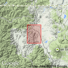
Unit is named for Moffett Creek (type locality), sec.12 T43N R8W Siskiyou Co, CA. Generally consists of dismembered blocks of sandstone and siltstone in matrix of strongly sheared shale. Is medium-gray to dark-greenish-gray. Is considered an olistrostrome or broken formation. May be of tectonic origin. Is in thrust contact with underlying Duzel Phyllite and Schulmeyer Gulch sequence, and with overlying Sissel Gulch Graywacke. Age is Silurian or older.
Source: GNU records (USGS DDS-6; Menlo GNULEX).
For more information, please contact Nancy Stamm, Geologic Names Committee Secretary.
Asterisk (*) indicates published by U.S. Geological Survey authors.
"No current usage" (†) implies that a name has been abandoned or has fallen into disuse. Former usage and, if known, replacement name given in parentheses ( ).
Slash (/) indicates name conflicts with nomenclatural guidelines (CSN, 1933; ACSN, 1961, 1970; NACSN, 1983, 2005, 2021). May be explained within brackets ([ ]).