- Usage in publication:
-
- Moccasin Springs formation
- Modifications:
-
- Named
- Dominant lithology:
-
- Limestone
- Siltstone
- AAPG geologic province:
-
- Illinois basin
- Ozark uplift
Summary:
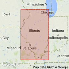
Named the Moccasin Springs formation of the Bainbridge group in southeastern MO and southern IL for Moccasin Springs, Cape Girardeau Co., MO. Unit is upper formation of Bainbridge group and includes all Niagaran strata that overlies St. Clair formation in outcrop area in Cape Girardeau and Ste. Genevieve Cos., MO and Alexander and Union Cos., IL. Consists predominantly of red and mottled red and gray to greenish-gray, very fine-grained, silty, argillaceous limestone and calcareous, argillaceous siltstone; brick-red coloration is more prominent in basal part and purple mottling in upper part. Thickness is 100 to 130 feet in MO and 160 to 200 feet in IL. Underlies Fern Glen limestone in parts of Ozark border area in IL, in western St. Clair and Monroe Cos., and possibly in northern western Jackson Co. The Moccasin Springs is of Silurian age.
Source: GNU records (USGS DDS-6; Reston GNULEX).

- Usage in publication:
-
- Moccasin Springs Member*
- Modifications:
-
- Overview
- AAPG geologic province:
-
- Upper Mississippi embayment
- Illinois basin
Summary:
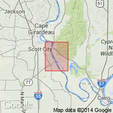
Moccasin Springs Member mapped undivided with St. Clair Limestone Member and Seventy-Six Shale Member (not noted during mapping but possibly present) as part of Bainbridge Formation in MO and IL. Consists of mottled brick-red to greenish-gray, thinly bedded, very argillaceous limestone, and gray calcareous siltstone and shale. Contains scattered shell and crinoid fragments. Author follows usage of Thompson (1993) for MO as well as IL (where Illinois Geological Survey recognizes Bainbridge as a group and Moccasin Springs as a formation in it). Age is Silurian (Niagaran and Cayugan).
Source: GNU records (USGS DDS-6; Reston GNULEX).
For more information, please contact Nancy Stamm, Geologic Names Committee Secretary.
Asterisk (*) indicates published by U.S. Geological Survey authors.
"No current usage" (†) implies that a name has been abandoned or has fallen into disuse. Former usage and, if known, replacement name given in parentheses ( ).
Slash (/) indicates name conflicts with nomenclatural guidelines (CSN, 1933; ACSN, 1961, 1970; NACSN, 1983, 2005, 2021). May be explained within brackets ([ ]).

