

- Usage in publication:
-
- Mobridge member
- Modifications:
-
- Original reference
- Dominant lithology:
-
- Shale
- AAPG geologic province:
-
- Williston basin
- Sioux uplift
Summary:
Pg. 44-49, pls. 2, 3. Mobridge member of Pierre formation. A succession of highly calcareous shale, marl, and chalk beds which lie above Virgin Creek member (new) and below Elk Butte member (new), both of Pierre. Thickness 90 to 230 feet; at type is 136 feet thick. At type consists of medium-blue-gray, calcareous shale; weathers light brownish buff and light buff in lower 50 feet, and light buff in upper 50 to 60 feet; contains fossiliferous, medium- to dark-gray concretions that weather brownish buff and are generally less than 8 inches in diameter and 1 inch in thickness. Age is Cretaceous. Lists fossils, gives representative sections, and shows outcrop along the Missouri River Valley, South Dakota.
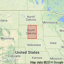
Type locality: exposures above west end of highway bridge [U.S. Highway 12] across Missouri River at Mowbridge [GNU records (USGS DDS-6; Denver GNULEX, Dec. 12, 1986) state this is type section]. Exposure is in southeastern corner of Corson Co., SD, opposite Mowbridge, Walworth Co., SD. Member extends from near ND boundry to southern boundary of SD.
Source: US geologic names lexicon (USGS Bull. 1200, p. 2536); supplemental information from GNU records (USGS DDS-6; Denver GNULEX).
- Usage in publication:
-
- Mobridge member*
- Modifications:
-
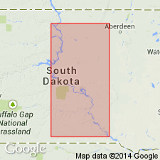
- Areal extent
- AAPG geologic province:
-
- Sioux uplift
- Williston basin
Summary:
Pg. 2338. Mobridge member of Pierre shale. Calcareous shale and marl (footnote, term marl is here used to denote calcareous clay, in this case marine). Thickness at type section 136 feet. Lies above "gumbo-forming" shale of upper part of Virgin Creek member and below noncalcareous shale at base of Elk Butte member; all of Pierre shale. [Type section and origin of name stated.]
Type section: at west end of highway bridge across the Missouri River at Mobridge, southeastern Corson Co., SD. Named from city of Mobridge.
Source: Publication.
- Usage in publication:
-
- Mobridge shale member*
- Modifications:
-
- Revised
- Biostratigraphic dating
- Overview
- AAPG geologic province:
-
- Williston basin
- Salina basin
Summary:
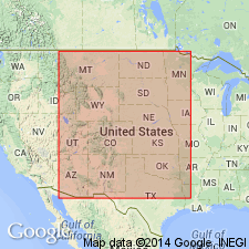
Member of the Pierre shale, west-central and central SD and northeastern NE [in the Williston and Salina basins]. Shows ammonite zonation and correlation with other stratigraphic units in the western interior region. Late Cretaceous (Maestrichtian) in age.
Source: GNU records (USGS DDS-6; Denver GNULEX).
For more information, please contact Nancy Stamm, Geologic Names Committee Secretary.
Asterisk (*) indicates published by U.S. Geological Survey authors.
"No current usage" (†) implies that a name has been abandoned or has fallen into disuse. Former usage and, if known, replacement name given in parentheses ( ).
Slash (/) indicates name conflicts with nomenclatural guidelines (CSN, 1933; ACSN, 1961, 1970; NACSN, 1983, 2005, 2021). May be explained within brackets ([ ]).