- Usage in publication:
-
- Missisquoi formation
- Modifications:
-
- Original reference
- AAPG geologic province:
-
- New England province
Keith, Arthur, 1924, Cambrian succession of northwestern Vermont: Vermont Geological Survey [Report of the State Geologist], 14th, p. 105-136., Also issued in Amer. Jour. Sci., 5th ser., v. 5, no. 26, p. 97-139, 1923
Summary:
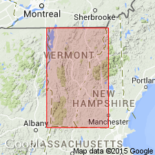
Pg. 137, footnote. Missisquoi formation is here applied to thin-bedded upper part of Milton dolomite as defined by me in 1923. [See 1924 entry under Milton dolomite.]
Source: US geologic names lexicon (USGS Bull. 896, p. 1387).

- Usage in publication:
-
- Missisquoi formation
- Modifications:
-
- Biostratigraphic dating
- AAPG geologic province:
-
- New England province
Summary:
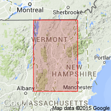
Pg. 137-138, 197-202. Missisquoi formation. [Describes the Upper Cambrian fossils from thinly bedded limestone and conglomeratic strata exposed in gorge of Missisquoi River at Highgate Falls (at Highgate village, St. Albans quadrangle), which were named Missisquoi formation by Keith.] "Fauna resembles that of Hoyt limestone."
Source: US geologic names lexicon (USGS Bull. 896, p. 1387).

- Usage in publication:
-
- Missisquoi schist†
- Modifications:
-
- Abandoned
- AAPG geologic province:
-
- New England province
Summary:
Pg. 266-268. †Missisquoi schist. Introduced Mill River conglomerate to replace this name, which is preoccupied by Missisquoi schist of Richardson, an Upper Cambrian formation on east side of Green Mountains, Vermont.
Source: US geologic names lexicon (USGS Bull. 896, p. 1387).

- Usage in publication:
-
- Missisquoi formation†
- Modifications:
-
- Abandoned
- AAPG geologic province:
-
- New England province
Summary:
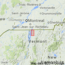
Pg. 1053. †Missisquoi formation. Beds termed Missisquoi by Keith (1924) are now referred to Gorge formation (new). Term Missisquoi preoccupied.
Source: US geologic names lexicon (USGS Bull. 1200, p. 2528-2529).
For more information, please contact Nancy Stamm, Geologic Names Committee Secretary.
Asterisk (*) indicates published by U.S. Geological Survey authors.
"No current usage" (†) implies that a name has been abandoned or has fallen into disuse. Former usage and, if known, replacement name given in parentheses ( ).
Slash (/) indicates name conflicts with nomenclatural guidelines (CSN, 1933; ACSN, 1961, 1970; NACSN, 1983, 2005, 2021). May be explained within brackets ([ ]).

