The National Geologic Map Database is migrating to a new infrastructure. We apologize for any service disruptions during this process.
|
|---|


- Usage in publication:
-
- Miranda sand member*
- Modifications:
-
- Named
- Dominant lithology:
-
- Sand
- Silt
- Clay
- AAPG geologic province:
-
- Caribbean region
Summary:
The Miranda sand member of the Cibao formation, here named, consists of about 10 m of coarse-grained quartz sand in a noncalcareous silty, mottled grayish-red and yellowish-gray clayey matrix. Overlies hard limestone of the Quebrada Arenas limestone member of the Cibao.
Source: GNU records (USGS DDS-6; Reston GNULEX).
- Usage in publication:
-
- Miranda Sand Member*
- Modifications:
-
- Age modified
- AAPG geologic province:
-
- Caribbean region
Summary:
Age of the Cibao Formation is late Oligocene and early Miocene.
Source: GNU records (USGS DDS-6; Reston GNULEX).

- Usage in publication:
-
- Miranda Sand Member*
- Modifications:
-
- Overview
- AAPG geologic province:
-
- Caribbean region
Summary:
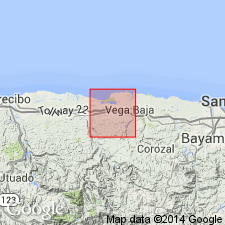
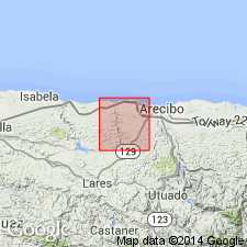
The Miranda Sand Member of the Cibao Formation occurs on the north coast of Puerto Rico and consists of channel sand with pebbles and cobbles locally.
Source: GNU records (USGS DDS-6; Reston GNULEX).
For more information, please contact Nancy Stamm, Geologic Names Committee Secretary.
Asterisk (*) indicates published by U.S. Geological Survey authors.
"No current usage" (†) implies that a name has been abandoned or has fallen into disuse. Former usage and, if known, replacement name given in parentheses ( ).
Slash (/) indicates name conflicts with nomenclatural guidelines (CSN, 1933; ACSN, 1961, 1970; NACSN, 1983, 2005, 2021). May be explained within brackets ([ ]).