- Usage in publication:
-
- Mine Run Complex*
- Modifications:
-
- Named
- Dominant lithology:
-
- Phyllite
- Schist
- Sandstone
- Graywacke
- AAPG geologic province:
-
- Piedmont-Blue Ridge province
Summary:
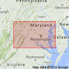
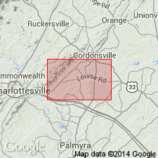
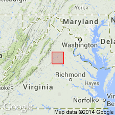
A block-in-phyllite melange in north-central VA is here named the Mine Run Complex for Mine Run, Orange Co., where an exotic block is enclosed in phyllite matrix. The Complex consists of metaplutonic, metavolcanic, metamafic, and ultramafic blocks several m and larger in size, enclosed in a matrix of phyllite, schist, metasandstone, or metagraywacke. It is composed of 4 imbricated thrust slices, each with its own distinctive exotic block content, informally named melange zones I, II, III, and IV. The Lahore block, containing a granitoid and an ultramafic mass, and the Diana Mills mass are in melange zone III. The Greensprings, Buckingham, and Appomattox masses are in melange zone IV. The Mine Run was formed in a Cambrian-Ordovician back-arc or marginal basin on the continentward side of an island arc system (Central Virginia Volcanic-Plutonic belt) that had formed in Cambrian time.
Source: GNU records (USGS DDS-6; Reston GNULEX).

- Usage in publication:
-
- Mine Run Complex
- Modifications:
-
- Overview
- AAPG geologic province:
-
- Piedmont-Blue Ridge province
Summary:
Three units are recognized as part of the Melange zone IV of the Mine Run Complex, lying east of the Mountain Run fault zone. Unit A is a medium-grained, highly comminuted and polydeformed muscovite phyllonite that grades eastward into less deformed schistose phyllite. Lower contact with Everona Limestone is not exposed, but is interpreted as a fault. Unit B is composed of metamorphosed coarse-grained arkose, graywacke, and well-foliated phyllite and grades eastward into unit C, which consists mainly of quartz-bearing phyllite. Age shown as Cambrian.
Source: GNU records (USGS DDS-6; Reston GNULEX).

- Usage in publication:
-
- Mine Run complex
- Modifications:
-
- Overview
- AAPG geologic province:
-
- Piedmont-Blue Ridge province
Summary:
Mine Run complex used informally on State map. Divided into melange zones I, II, and III. [Zone IV not mapped.] Zones II and III are intruded by Ordovician and Silurian Ellisville biotite granodiorite. Map symbol indicates age range of Late Proterozoic to Ordovician for the Mine Run.
Source: GNU records (USGS DDS-6; Reston GNULEX).

- Usage in publication:
-
- Mine Run Complex*
- Modifications:
-
- Overview
- AAPG geologic province:
-
- Piedmont-Blue Ridge province
Summary:
Melange zone IV of Mine Run Complex is bounded on west side by Mountain Run fault zone. Probably is a continuation of some phyllitic rocks assigned to Lower Cambrian(?) Candler Formation of Evington Group, southwest of map area. Melange zone IV contains few exotic blocks in this map area, but some large mafic-ultramafic masses enclosed within what has been mapped as Candler by other workers have been interpreted as exotic blocks within this melange zone.
Source: GNU records (USGS DDS-6; Reston GNULEX).
For more information, please contact Nancy Stamm, Geologic Names Committee Secretary.
Asterisk (*) indicates published by U.S. Geological Survey authors.
"No current usage" (†) implies that a name has been abandoned or has fallen into disuse. Former usage and, if known, replacement name given in parentheses ( ).
Slash (/) indicates name conflicts with nomenclatural guidelines (CSN, 1933; ACSN, 1961, 1970; NACSN, 1983, 2005, 2021). May be explained within brackets ([ ]).

