

- Usage in publication:
-
- Mine Creek shale member
- Modifications:
-
- Named
- Dominant lithology:
-
- Shale
- Limestone
- AAPG geologic province:
-
- Forest City basin
- Cherokee basin
Summary:
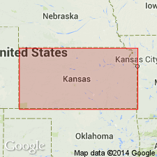
Named as a member (1 of 4) of Pawnee limestone of Marmaton group in southeastern KS. Type exposure designated near the middle of the south side of sec 23, T21S, R25E on a tributary of Mine creek in Linn Co, KS in the Forest City basin. Another section less than one ft thick measured in N1/2 S1/2 sec 7, T27S, R24E, Bourbon Co, KS in the Cherokee basin. Can be identified certainly in some exposures south of Marmaton river and as far south as a point 20 mi south of the KS-OK line. In Linn Co, KS, consists of mostly gray shale, but more or less carbonaceous. Contains thin bed of limestone in upper part, and black shale similar to that seen in the Little Osage shale member (new) of the Fort Scott limestone. In KS, maximum thickness of the Mine Creek shale member is about 16 ft. Overlies Myrick Station limestone member and underlies Laberdie limestone member (new), both of Pawnee limestone of Marmaton group. Cross section. Of Pennsylvanian, Des Moines age.
Source: GNU records (USGS DDS-6; Denver GNULEX).
For more information, please contact Nancy Stamm, Geologic Names Committee Secretary.
Asterisk (*) indicates published by U.S. Geological Survey authors.
"No current usage" (†) implies that a name has been abandoned or has fallen into disuse. Former usage and, if known, replacement name given in parentheses ( ).
Slash (/) indicates name conflicts with nomenclatural guidelines (CSN, 1933; ACSN, 1961, 1970; NACSN, 1983, 2005, 2021). May be explained within brackets ([ ]).