- Usage in publication:
-
- Millstone grit formation
- Modifications:
-
- Named
- Dominant lithology:
-
- Sandstone
- Shale
- AAPG geologic province:
-
- Arkoma basin
Summary:
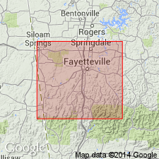
Millstone grit formation. Exposed in Washington County, Arkansas, in the Arkoma basin. Is most abundant in the thinly settled region of the Boston Mountains. Consists of sandstones and shales which cap the Boston Mountains and their outliers, and wind in and out along the sides of the ravines and spurs that extend northward from the main ridge. Outcrops of the shales generally concealed by debris and residuary soils; more massive sandstones and grits often form conspicuous bluffs on or near the mountain tops. Is about 40 feet thick. Overlies the Lower Carboniferous Kessler limestone (new); underlies the rocks of the Productive Coal Measures occurring in the Arkansas Valley. Age is the "Barren Coal Measures." Report includes geologic map of Washington County, stratigraphic table, columnar sections.
Type locality not designated. Origin of name not stated.
Source: Modified from GNU records (USGS DDS-6; Denver GNULEX).
For more information, please contact Nancy Stamm, Geologic Names Committee Secretary.
Asterisk (*) indicates published by U.S. Geological Survey authors.
"No current usage" (†) implies that a name has been abandoned or has fallen into disuse. Former usage and, if known, replacement name given in parentheses ( ).
Slash (/) indicates name conflicts with nomenclatural guidelines (CSN, 1933; ACSN, 1961, 1970; NACSN, 1983, 2005, 2021). May be explained within brackets ([ ]).

