The National Geologic Map Database is migrating to a new infrastructure. We apologize for any service disruptions during this process.
|
|---|


- Usage in publication:
-
- Millrift Formation
- Modifications:
-
- Named
- Dominant lithology:
-
- Sandstone
- Siltstone
- Shale
- AAPG geologic province:
-
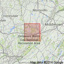
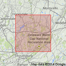
- Appalachian basin
Summary:
Millrift Formation named. Type section designated. Sandstone, siltstone, and shale. Thickness: >81 m. Ball-and-pillow structures (flow rolls); fossiliferous. Gradationally overlies Sloat Brook Formation; gradationally underlies Delaware River Formation. Age is Late Devonian.
Source: GNU records (USGS DDS-6; Reston GNULEX).
- Usage in publication:
-
- Millrift Member
- Modifications:
-
- Revised
- AAPG geologic province:
-
- Appalachian basin
Summary:
Millrift Member assigned to Trimmers Rock Formation.
Source: GNU records (USGS DDS-6; Reston GNULEX).
- Usage in publication:
-
- Millrift Member*
- Modifications:
-
- Revised
- AAPG geologic province:
-
- Appalachian basin
Summary:
Upper Devonian Millrift Formation of Fletcher and Woodrow (1970) adopted, reduced in rank, and assigned as the Millrift Member of the Trimmers Rock Formation in Pike Co., PA. Consists of fine-grained sandstone. Overlies Sloat Brook Member of Trimmers Rock; underlies Towamensing Member of Catskill Formation. Trimmers Rock Formation in area is 1500 ft thick. Follows usage of the Pennsylvania Geological Survey (Berg and others, 1983).
Source: GNU records (USGS DDS-6; Reston GNULEX).
For more information, please contact Nancy Stamm, Geologic Names Committee Secretary.
Asterisk (*) indicates published by U.S. Geological Survey authors.
"No current usage" (†) implies that a name has been abandoned or has fallen into disuse. Former usage and, if known, replacement name given in parentheses ( ).
Slash (/) indicates name conflicts with nomenclatural guidelines (CSN, 1933; ACSN, 1961, 1970; NACSN, 1983, 2005, 2021). May be explained within brackets ([ ]).