- Usage in publication:
-
- Mikes Creek Member
- Modifications:
-
- Named
- Dominant lithology:
-
- Conglomerate
- Mudstone
- Chert
- AAPG geologic province:
-
- Great Basin province
Summary:
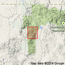
Named as third from lowest member (of 8 named members) of Schoonover Formation (new) for exposures along upper part of Mikes Canyon, Wildhorse quad, Elko Co, NV. Shown on geologic map of parts of Bull Run and Wildhorse quads. Consists of poorly sorted arenites and conglomerates, argillaceous lutites, pebbly mudstones, and thin black cherts. Is up to 2600 ft thick. Overlies Fry Creek Member; underlies Harrington Creek Member (both new and of Schoonover Formation). Age is Mississippian.
Source: GNU records (USGS DDS-6; Menlo GNULEX).

- Usage in publication:
-
- Mikes Creek Member
- Modifications:
-
- Age modified
- AAPG geologic province:
-
- Great Basin province
Summary:
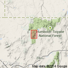
Several samples of radiolarian chert from Mikes Creek Member/adjoining members of Schoonover Formation collected at approximately 41 deg 31'N, 116 deg 03'W yielded ages of Late Mississippian and Late(?) Mississippian. Chert units sampled are between basal and structurally higher thrust [of Schoonover sequence].
Source: GNU records (USGS DDS-6; Menlo GNULEX).
For more information, please contact Nancy Stamm, Geologic Names Committee Secretary.
Asterisk (*) indicates published by U.S. Geological Survey authors.
"No current usage" (†) implies that a name has been abandoned or has fallen into disuse. Former usage and, if known, replacement name given in parentheses ( ).
Slash (/) indicates name conflicts with nomenclatural guidelines (CSN, 1933; ACSN, 1961, 1970; NACSN, 1983, 2005, 2021). May be explained within brackets ([ ]).

