

- Usage in publication:
-
- Mifflin limestone member
- Modifications:
-
- Original reference
- Dominant lithology:
-
- Limestone
- Dolomite
- AAPG geologic province:
-
- Wisconsin arch
Summary:
Mifflin limestone member of Platteville formation. Thinly bedded limestones which pass laterally to dolomitic limestones and dolomites. Thickness 17.5 feet. Overlies Pecatonica limestone member; underlies Magnolia member. Age is Middle Ordovician.
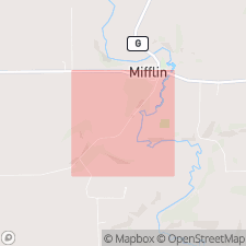
Named from exposures in roadcuts and stream banks of Pecatonica River at Mifflin, in NE/4 sec. 34, T. 5 N., R. 1 E., Iowa Co., southwestern WI.
Source: US geologic names lexicon (USGS Bull. 1200, p. 2498).
- Usage in publication:
-
- Mifflin limestone
- Modifications:
-
- Revised
- Areal extent
- AAPG geologic province:
-
- Wisconsin arch
Summary:
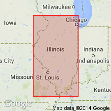
Pg. 6, 10 (fig. 3). Mifflin limestone of Platteville group. Geographically extended into Dixon-Oregon area, Illinois, where it is considered a formation in Platteville group. Consists of limestone or dolomite, alternately pure and argillaceous, noncherty, thin- to thick-bedded, with gray-green shale partings. Thickness about 25 feet. Includes (ascending) Brickeys, Boarman, Establishment, Hazelwood, and Briton members (all new). Underlies Grand Detour formation (new); overlies Pecatonica formation. Age is Middle Ordovician.
Source: US geologic names lexicon (USGS Bull. 1200, p. 2498).
- Usage in publication:
-
- Mifflin member
- Modifications:
-
- Contact revised
- AAPG geologic province:
-
- Sioux uplift
Summary:
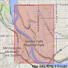
Mifflin member of Platteville formation. Contact revised in St. Paul area, Ramsey County, Minnesota. Overlies Hidden Falls member (new); underlies Magnolia member. Age not stated.
Source: Modified from GNU records (USGS DDS-6; Reston GNULEX).
- Usage in publication:
-
- Mifflin member
- Modifications:
-
- Contact revised
- Areal extent
- AAPG geologic province:
-
- Iowa shelf
Summary:
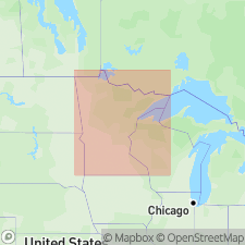
Pg. 58 (table 1), 59, 60. Mifflin limestone member of Platteville formation. Rocks of McGregor member have at some times and places been classified as Magnolia and Mifflin members of the Platteville (Bays and Raasch, 1935; Bays, 1938). In region south from Rochester, Minnesota, to McGregor, Iowa, there is virtually no evidence of Magnolia and Mifflin members. However, in Twin City area, where interval is somewhat dolomitic Majewske (1953, unpub. ms.) has shown that what in past has been lumped together as the McGregor is the Mifflin and Magnolia separated by an hitherto unnamed member, Hidden Falls. McGregor is used where special characteristics of Mifflin, Hidden Falls, or Magnolia are absent or insufficiently distinct. In Minnesota, Mifflin member is developed only from Twin City area eastward to Wisconsin and southward to Goodhue and Rice Counties. Thickness in Twin Cities about 11 to 13 feet; 7 feet at Afton; less than 4 feet at Faribault.
Source: US geologic names lexicon (USGS Bull. 1200, p. 2498).
For more information, please contact Nancy Stamm, Geologic Names Committee Secretary.
Asterisk (*) indicates published by U.S. Geological Survey authors.
"No current usage" (†) implies that a name has been abandoned or has fallen into disuse. Former usage and, if known, replacement name given in parentheses ( ).
Slash (/) indicates name conflicts with nomenclatural guidelines (CSN, 1933; ACSN, 1961, 1970; NACSN, 1983, 2005, 2021). May be explained within brackets ([ ]).