- Usage in publication:
-
- Middleburg limestone member
- Modifications:
-
- Original reference
- Dominant lithology:
-
- Limestone
- Shale
- AAPG geologic province:
-
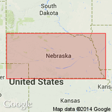
- Forest City basin
- Nemaha anticline
Summary:
Pg. 20, 25. Middleburg limestone member of Garrison formation of Council Grove group. Middleburg limestone, new name for middle part of Easly Creek shale of Condra, 1927. Thickness between 4 and 9 feet, increasing southward to vicinity of Hooser and Dexter, eastern Kansas. At type locality consists of (descending): (1) gray limestone, massive, granular, dense, weathers buff-gray, 1 foot 4 inches; (2) limestone, variegated light to dark gray, massive, tough, with many small dark-colored high-spired gastropods, 1 foot 6 inches; (3) olive shale, 6 inches to 1 foot; (4) limestone, dark gray, blocky, dense, 2 to 3 inches. Underlies Easly Creek shale restricted and overlies Hooser shale members of Garrison. Age is Permian (Big Blue).
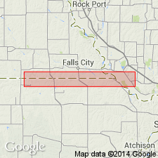
Type locality: on Easly Creek, 1.5 mi south of Middleburg School, in [SE/4] sec. 36, T. 1 N., R. 13 E., in southwestern part of Richardson Co., southeastern NE.
[Type locality just north of NE-KS line, approx. Lat. 40 deg. 00 min. 10 sec. N., Long 95 deg. 54 min. 06 sec. W. Middleburg School, Lat. 40 deg. 01 min. 46 sec. N., Long. 95 deg. 54 min. 27 sec. W., Humboldt SW 7.5-min quadrangle, Richardson Co., NE, along northern boundary sec. 25, T. 1 N., R. 13 E.]
[Additional locality information from USGS GNIS database and ACME Mapper 2.0, accessed December 24, 2010.]
Source: US geologic names lexicon (USGS Bull. 896, p. 1362); GNC KS-NE Permian Corr. Chart, Oct. 1936; supplemental information from GNU records (USGS DDS-6; Denver GNULEX).

- Usage in publication:
-
- Middleburg limestone member
- Modifications:
-
- Revised
- AAPG geologic province:
-
- Forest City basin
Summary:
[See also entry under Bader limestone] Bader formation of Council Grove group divided into (descending) Middleburg limestone, Hooser shale, and Eiss limestone members. Middleburg limestone member (about 4 feet thick) consists of gray, dark-gray, variegated light- to dark-gray, massive, blocky, dense, granular limestone with many small dark-colored, high-spired gastropods; and olive-colored shale. Hooser shale member (11 feet thick) consists of olive, grayish, calcareous-argillaceous, fossiliferous shale that weathers buff. Eiss limestone member (about 9.5 feet thick) consists of grayish, dark-gray, shaly, massive, siliceous, granular, dense limestone; and olive-colored, argillaceous, massive, fossiliferous shale with some lime aggregate. Bader shown in a generalized geologic column for this area; is about 24.5 feet thick [Areal extent of Bader and its members not clearly stated in report]. Bader limestone formation overlies Stearns shale formation of Council Grove group and underlies Easly Creek shale formation of Council Grove group. Age is Permian. Report includes cross section.
See also "Kansas-Nebraska Permian correlation chart," compiled by M.G. Wilmarth, Secretary of Committee on Geologic Names, Oct. 1936.
Source: Modified from GNU records (USGS DDS-6; Denver GNULEX).
For more information, please contact Nancy Stamm, Geologic Names Committee Secretary.
Asterisk (*) indicates published by U.S. Geological Survey authors.
"No current usage" (†) implies that a name has been abandoned or has fallen into disuse. Former usage and, if known, replacement name given in parentheses ( ).
Slash (/) indicates name conflicts with nomenclatural guidelines (CSN, 1933; ACSN, 1961, 1970; NACSN, 1983, 2005, 2021). May be explained within brackets ([ ]).

