- Usage in publication:
-
- Mesita Member
- Modifications:
-
- Named
- Dominant lithology:
-
- Andesite
- AAPG geologic province:
-
- San Luis basin
Summary:
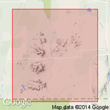
Named for exposures near Mesita, Costilla Co, CO in San Luis basin. Name applied to a local unit and the youngest unit in the San Luis Hills. Assigned to Servilleta Formation. No type locality designated. Mapped (geologic map) near Culebra Creek-Rio Grande intersection in Costilla and Conejos Cos. Mesita represents local eruptions that formed small hills above plateau basalts. Mesita Crater and Volcano de La Culebra at mouth of Culebra Creek are two volcanic source areas [for the Mesita] in the San Luis Hills. Mesita Crater composed predominantly of loose highly oxidized scoria that is trachyandesite. Rocks from Volcano de La Culebra appear andesitic. Overlies older parts of Servilleta. Of late Pliocene age.
Source: GNU records (USGS DDS-6; Denver GNULEX).
For more information, please contact Nancy Stamm, Geologic Names Committee Secretary.
Asterisk (*) indicates published by U.S. Geological Survey authors.
"No current usage" (†) implies that a name has been abandoned or has fallen into disuse. Former usage and, if known, replacement name given in parentheses ( ).
Slash (/) indicates name conflicts with nomenclatural guidelines (CSN, 1933; ACSN, 1961, 1970; NACSN, 1983, 2005, 2021). May be explained within brackets ([ ]).

