- Usage in publication:
-
- Memphremagog slate
- Modifications:
-
- Adopted
- AAPG geologic province:
-
- New England province
Summary:
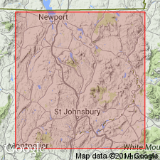
Pg. 115, footnote. USGS has adopted Memphremagog slate instead of Montpelier slate, preoccupied. [For definition see 1906 entry under †Montpelier slate.]
Source: US geologic names lexicon (USGS Bull. 896, p. 1343-1344).
- Usage in publication:
-
- Memphremagog slates
- Modifications:
-
- Principal reference
- Dominant lithology:
-
- Slate
- AAPG geologic province:
-
- New England province
Summary:
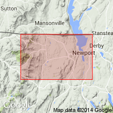
Memphremagog slates. Black, carbonaceous, highly fissile slate. Youngest member of Lower Trenton series in Vermont. Consists of: (1) shallow sea deposits; (2) Coventry limestone, deposited in deepening sea; (3) muds and silts laid down near the shore; (4) limestone deposited in subsiding sea; (5) finely triturated clays in shallow, quiet seas. Named from Lake Memphremagog.
Source: US geologic names lexicon (USGS Bull. 896, p. 1343-1344).
- Usage in publication:
-
- Memphremagog slate
- Modifications:
-
- Age modified
- AAPG geologic province:
-
- New England province
Summary:
Pg. 21-56. Memphremagog slate. Reference of Memphremagog slate to Trenton is to be regarded as probable, not certain.
Source: US geologic names lexicon (USGS Bull. 896, p. 1343-1344).
- Usage in publication:
-
- Memphremagog slate
- Modifications:
-
- Areal extent
- Age modified
- AAPG geologic province:
-
- New England province
Summary:
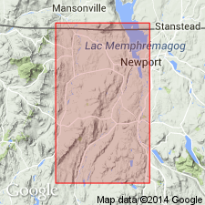
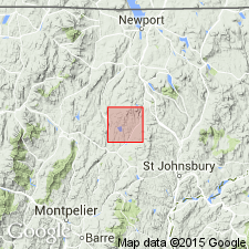
Memphremagog slate extends from Lowell Mountain to Lake Memphremagog. Is definitely Lower Trenton.
Source: US geologic names lexicon (USGS Bull. 896, p. 1343-1344).
- Usage in publication:
-
- Memphremagog slate
- Modifications:
-
- Areal extent
- AAPG geologic province:
-
- New England province
Summary:
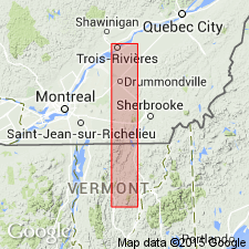
Pg. 283-293. Memphremagog slate. Has now been carried southward in somewhat broken belt to southern boundary of Greensboro. In its northern extension into Canada it bears abundant Lower Trenton graptolites.
Source: US geologic names lexicon (USGS Bull. 896, p. 1343-1344).
- Usage in publication:
-
- Memphremagog slates
- Modifications:
-
- Areal extent
- AAPG geologic province:
-
- New England province
Summary:
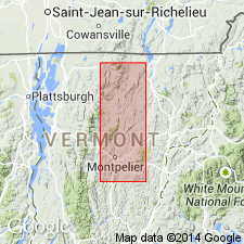
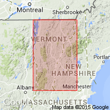
Pg. 120-146. Memphremagog slates. Western member of Memphremagog slates of previous reports was broken in Craftsbury, reappears in Hardwlck, also in Woodbury, and continues into Northfield. The black or bluish, black slates and associated shales were named by this author Memphremagog slates, because of fact that in their northern extension in Vermont they dip under Lake Memphremagog and appear on east side of lake, where they contain graptolites. This name is retained for the slates and shales in their southern extension as far south as writer's work has extended, approximately 100 miles. The Memphremagog slates and Waits River limestone range from Lower Trenton to Deepklll [Beekmantown].
Source: US geologic names lexicon (USGS Bull. 896, p. 1343-1344).
- Usage in publication:
-
- Memphremagog slate
- Modifications:
-
- Areal extent
- AAPG geologic province:
-
- New England province
Summary:
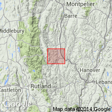
Memphremagog slate. In northern part of State is represented by 3 belts, roughly parallel, and separated from each other by belts of Waits River limestone. Each slate belt passes under Lake Memphremagog and reappears on east side of lake in Canada. The east belt in its more northerly extension is a black carbonaceous, often pyritiferous slate, which to south becomes phyllite schist. Central belt is black clay slate with perfect cleavage, occasionally pyritiferous. Western belt is black carbonaceous, highly fissile slate. These slates may represent 3 different noncalcareous beds of Ordovician sediments or one bed that has been repeated by a fan fold. All 3 belts contain graptolites, those found in Roxbury and Northfield proving the southern extension of the slates are of Deepkill (Beekmantown) age, according to Ruedemann.
Source: US geologic names lexicon (USGS Bull. 896, p. 1343-1344).
- Usage in publication:
-
- Memphremagog group
- Modifications:
-
- Revised
- Areal extent
- AAPG geologic province:
-
- New England province
Summary:
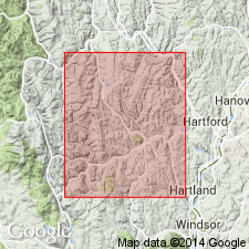
Memphremagog group. Slates and phyllites; in Bethel phyllites predominate. The slates extend unbroken from Lake Memphremagog south for 100 miles. The phyllites have been more or less broken in their continuity by limestones. The slaty characters were so pronounced in Newport and Coventry that the terranes were named Memphremagog slates. In southerly extension the 2 easternmost members soon lose their slaty characteristics and become phyllites. In Bethel westernmost belt is nearly all phyllite. It has been obvious for long time these phyllites should receive a more definite name, and therefore Randolph phyllite has been selected for them. [See Randolph phyllite.]
Source: US geologic names lexicon (USGS Bull. 896, p. 1343-1344).
- Usage in publication:
-
- Memphremagog group
- Modifications:
-
- Revised
- Areal extent
- AAPG geologic province:
-
- New England province
Summary:
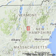
Pg. 150. Memphremagog group of slates and phyllites divided into Randolph phyllite and Memphremagog slate.
Source: US geologic names lexicon (USGS Bull. 896, p. 1343-1344).
- Usage in publication:
-
- Memphremagog group of slates and phyllites
- Modifications:
-
- Revised
- Areal extent
- AAPG geologic province:
-
- New England province
Summary:
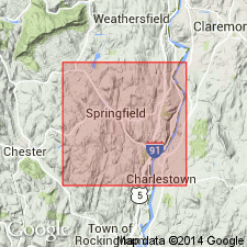
Memphremagog group of slates and phyllites. Occurs in and near base of Waits River limestone in northern section.
Source: US geologic names lexicon (USGS Bull. 896, p. 1343-1344).
- Usage in publication:
-
- Memphremagog group of slates and phyllites
- Modifications:
-
- Revised
- Areal extent
- AAPG geologic province:
-
- New England province
Summary:
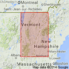
Pg. 192-211. Memphremagog group of slates and phyllites. In southeastern Vermont includes slate, Brattleboro phyllite, and Waits River limestone, which usually is interbedded with the phyllite.
Source: US geologic names lexicon (USGS Bull. 896, p. 1343-1344).
- Usage in publication:
-
- Memphremagog slate*
- Modifications:
-
- Revised
- Biostratigraphic dating
- AAPG geologic province:
-
- New England province
Summary:
Pg. 360. Memphremagog slate. Showed that in central Green Mountains, Vermont, the Ordovician consists of Randolph phyllite (correlated with Black River limestone of New York), Waits River limestone (Chazy fossils), and Memphremagog slate (Beekmantown fossils).
Source: US geologic names lexicon (USGS Bull. 896, p. 1343-1344).
- Usage in publication:
-
- Memphremagog group
- Modifications:
-
- Overview
- AAPG geologic province:
-
- New England province
Summary:
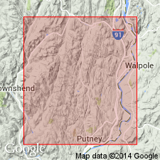
Pg. 316-347. Memphremagog group (Ordovician) consists of slates, phyllites, and quartzites. In northern half of State the slate appears as a continuous belt from Northfield to International Boundary. On eastern side of the Ordovician the belt is more or less broken, but beds of slate appear in nearly every township southward from Waterford to Massachusetts line. Includes Brattleboro phyllite.
Source: US geologic names lexicon (USGS Bull. 896, p. 1343-1344).
- Usage in publication:
-
- "Memphremagog slates"
- Modifications:
-
- Not used
- AAPG geologic province:
-
- New England province
Summary:
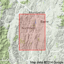
Pg. 1491, 1501, 1505. "Memphremagog slates." Beds mapped in central Vermont as "Memphremagog slates" by Bichardson (1906) are, in general, represented by redefined Northfield slate. Stratigraphic relations of the former had not been clearly described. Lower Trenton age of "Memphremagog slates" is open to question.
Source: US geologic names lexicon (USGS Bull. 1200, p. 2457).
- Usage in publication:
-
- Memphremagog formation
- Modifications:
-
- Areal extent
- AAPG geologic province:
-
- New England province
Summary:
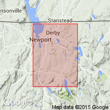
Memphremagog formation. Memphremagog quadrangle touching upon International Boundary in northeastern Vermont is in large part underlain by relatively thin-bedded, metamorphosed sedimentary rocks of probable Ordovician age. These rocks compose Memphremagog formation and consist chiefly of slates, phyllites, impure limestones, and quartzites.
Source: US geologic names lexicon (USGS Bull. 1200, p. 2457).
- Usage in publication:
-
- Memphremagog formation
- Modifications:
-
- Age modified
- Biostratigraphic dating
- AAPG geologic province:
-
- New England province
Summary:
Pg. 57. Memphremagog formation contains Waits River limestone as key member. Recent discovery of determinable fossil crinoid and cystoid calyces, and two gastropods in Waits River limestone at Westmore, Vermont, shows Waits River limestone and intercalated rocks to be at least as young as Middle Silurian, and very possibly of Early Devonian age.
Source: US geologic names lexicon (USGS Bull. 1200, p. 2457).
- Usage in publication:
-
- Memphremagog formation
- Modifications:
-
- Revised
- AAPG geologic province:
-
- New England province
Summary:
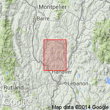
Pg. 16-18, pls. 3, 4. Memphremagog formation. Includes a great variety of rock types, arenaceous and micaceous dolomitic limestones and intercalated mica schists. Contains Waits River limestone member, also Standing Pond amphibolite member (new). Latter occurs either entirely in the limestones of the formation or along their contact with the mica schists. Coarse garnet schist is associated with this member. Thickness estimated about 8,000 feet. Age designated Middle Silurian; plate 4 shows age as probably Early Devonian also.
Source: US geologic names lexicon (USGS Bull. 1200, p. 2457).
For more information, please contact Nancy Stamm, Geologic Names Committee Secretary.
Asterisk (*) indicates published by U.S. Geological Survey authors.
"No current usage" (†) implies that a name has been abandoned or has fallen into disuse. Former usage and, if known, replacement name given in parentheses ( ).
Slash (/) indicates name conflicts with nomenclatural guidelines (CSN, 1933; ACSN, 1961, 1970; NACSN, 1983, 2005, 2021). May be explained within brackets ([ ]).

