The National Geologic Map Database is migrating to a new infrastructure. We apologize for any service disruptions during this process.
|
|---|


- Usage in publication:
-
- Memphis Sand*
- Modifications:
-
- Original reference
- Dominant lithology:
-
- Sand
- AAPG geologic province:
-
- Upper Mississippi embayment
Summary:
Name Memphis Sand given to "500-foot sand" at base of Claiborne Group. Unit is very light gray, fine- to coarse-grained lignitic sand, with minor silt and silty clay. Thickness 213 m. Major aquifer. Overlies Flour Island Formation of Wilcox Group; underlies Cook Mountain Formation of Claiborne Group. Age is middle Eocene.
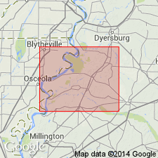
Type section (subsurface): depth-interval 186 to 399 m, Fort Pillow test well, at the site of old Fort Pillow on the Mississippi River, Lat. 35 deg. 38 min. 39 sec. N., Long. 89 deg. 49 min. 35 sec. W., Lauderdale Co., west-central TN. Named from City of Memphis.
Source: GNU records (USGS DDS-6; Reston GNULEX); US geologic names lexicon (USGS Bull. 1520, p. 200).
- Usage in publication:
-
- Memphis Sand*
- Modifications:
-
- Areal extent
- AAPG geologic province:
-
- Upper Mississippi embayment
Summary:
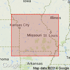
Unit geographically extended from western TN to southeastern MO.
Source: GNU records (USGS DDS-6; Reston GNULEX).
- Usage in publication:
-
- Memphis Sand*
- Modifications:
-
- Areal extent
- AAPG geologic province:
-
- Upper Mississippi embayment
Summary:
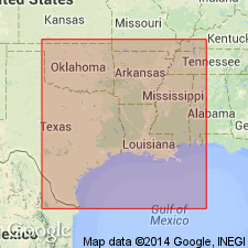
Unit is geographically extended from western TN and southeastern MO into northeastern AR. Overlies Flour Island Formation of Wilcox Group; underlies Cook Mountain Formation of Claiborne Group. Age is Eocene.
Source: GNU records (USGS DDS-6; Reston GNULEX).
For more information, please contact Nancy Stamm, Geologic Names Committee Secretary.
Asterisk (*) indicates published by U.S. Geological Survey authors.
"No current usage" (†) implies that a name has been abandoned or has fallen into disuse. Former usage and, if known, replacement name given in parentheses ( ).
Slash (/) indicates name conflicts with nomenclatural guidelines (CSN, 1933; ACSN, 1961, 1970; NACSN, 1983, 2005, 2021). May be explained within brackets ([ ]).