The National Geologic Map Database is migrating to a new infrastructure. We apologize for any service disruptions during this process.
|
|---|


- Usage in publication:
-
- Meeker Sandstone Member*
- Modifications:
-
- Overview
- AAPG geologic province:
-
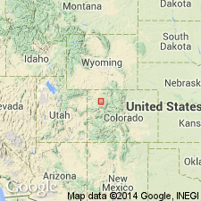
- Piceance basin
Summary:
Was an informally named sandstone of petroleum geologists; later was named Meeker Sandstone Member of Mancos Shale by Konishi in 1959. No type section designated by him. A type section designated and measured along an escarpment about 4 mi northwest of Meeker, Rio Blanco Co, CO in Piceance basin in SE1/4 sec 6, T1N, R93W. Extends north into Moffat Co, CO in Greater Green River basin. Is composed of silty, light- to medium-gray, calcareous, very fine-grained sandstone. Has a few glauconite grains and some shale laminae. Is 180 ft thick at type. Has gradational upper and lower contacts with unnamed parts of the Mancos. Has megafossils, but none are diagnostic. Probably is early Montana, Late Cretaceous age.
Source: GNU records (USGS DDS-6; Denver GNULEX).
For more information, please contact Nancy Stamm, Geologic Names Committee Secretary.
Asterisk (*) indicates published by U.S. Geological Survey authors.
"No current usage" (†) implies that a name has been abandoned or has fallen into disuse. Former usage and, if known, replacement name given in parentheses ( ).
Slash (/) indicates name conflicts with nomenclatural guidelines (CSN, 1933; ACSN, 1961, 1970; NACSN, 1983, 2005, 2021). May be explained within brackets ([ ]).