The National Geologic Map Database is migrating to a new infrastructure. We apologize for any service disruptions during this process.
|
|---|


- Usage in publication:
-
- Meek group
- Modifications:
-
- Named
- Dominant lithology:
-
- Limestone
- AAPG geologic province:
-
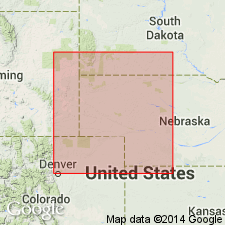
- Chadron arch
- Denver basin
Summary:
Named Meek group. These rocks were previously assigned to the lower 130 feet of Division II of the Hartville formation [not used in this report] in earlier reports. Thickness ranges from 119 to 130 feet. Composed mostly of light- to dark-gray, massive to bedded, fossiliferous (crinoids and brachiopods) limestone with some lenticular chert beds. Also includes dark-gray, platy to slabby mudstone; dark-gray, massive, calcareous shale; and gray, laminated to cross-bedded to thin-bedded sandstone. Known in Platte River Canyon, Lake Guernsey, Wyoming, and Hot Springs, South Dakota, on the Chadron arch. Overlies Hayden group (new); underlies Wendover group (new). Correlated with the Kansas City and Lansing groups of the Missouri series. Age is Pennsylvanian. Report includes measured sections.
Named from Meek Cliff, sec. 22, T. 27 N., R. 66 W. (the type locality) Platte Co., WY, in the Denver basin.
Source: Modified from GNU records (USGS DDS-6; Denver GNULEX).
- Usage in publication:
-
- /Meek-Wendover groups
- Modifications:
-
- Areal extent
- Correlation
- AAPG geologic province:
-
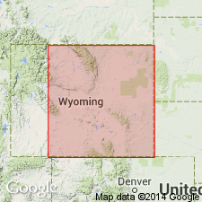
- Powder River basin
Summary:
Combined with underlying Hayden group to form a subdivision of Hartville formation in the subsurface, along the east side of Powder River basin in Niobrara, Weston, Crook, and Campbell Counties, Wyoming. Overlies [/]Reclamation-Roundtop groups; underlies Broom Creek group, all considered subdivisions of the Hartville formation. [/]Meek-Wendover groups correlated with middle division of Casper formation in the Laramie Mountains, Wyoming. Age is Late Pennsylvanian (Virgilian and Missourian).
[The use of a hyphen between undifferentiated [groups] is not considered proper notation (CSN, 1933).]
Source: Modified from GNU records (USGS DDS-6; Denver GNULEX).
- Usage in publication:
-
- Wendover-Meek groups
- Modifications:
-
- Areal extent
- Overview
- AAPG geologic province:
-
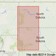
- Williston basin
Summary:
Used in formational sense in the Williston basin. Is mostly a sandy, argillaceous dolomite. The well-developed, widespread sand[stone] near base and at top probably correlates with the "second" and "first Leo sand", respectively [of the Lance Creek oil field, Niobrara County, Wyoming]. Poorly represented in North Dakota, due to nondeposition or erosion. Hiatus at top, below overlying Broom Creek group. Formerly included in Minnelusa formation by the North Dakota Geological Society (1954, Stratigraphy of the Williston basin). Age is probably Late Pennsylvanian (Virgilian and Missourian); see correlation chart (table 2, p. 151).
Source: Modified from GNU records (USGS DDS-6; Denver GNULEX).
For more information, please contact Nancy Stamm, Geologic Names Committee Secretary.
Asterisk (*) indicates published by U.S. Geological Survey authors.
"No current usage" (†) implies that a name has been abandoned or has fallen into disuse. Former usage and, if known, replacement name given in parentheses ( ).
Slash (/) indicates name conflicts with nomenclatural guidelines (CSN, 1933; ACSN, 1961, 1970; NACSN, 1983, 2005, 2021). May be explained within brackets ([ ]).