

- Usage in publication:
-
- McRae formation
- Modifications:
-
- Named
- Dominant lithology:
-
- Conglomerate
- Shale
- Sandstone
- Siltstone
- Breccia
- AAPG geologic province:
-
- Orogrande basin
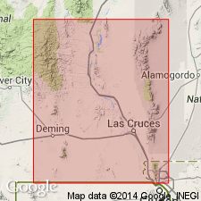
Summary:
Named for old Fort McRae, located in eastern tributary of Rio Grande about 3 mi north of Elephant Butte. Type locality designated around base of Elephant Butte and along most of eastern shoreline of Elephant Butte Reservoir for several mi north of dam, Sierra Co, NM, Orogrande basin. No section measured; formation largely covered by water, except at very low water levels. Exposed in hills and arroyos east of Caballo Mountains, and underlies much of Jornada del Muerto. Roughly estimated as 3,000 ft thick. Overlies Mesaverde formation (from which it is partly derived; also has reworked Precambrian feldspar) with locally transitional, disconformable, or sharp contact; overlain unconformably by Tertiary rocks. Consists of (ascending): 1) 100-200 ft of conglomerate containing mostly assorted intermediate volcanic rocks interbedded with shale and siltstone; some beds are breccia. 2) Above basal beds, hundreds of ft of alternating shale and sandstone. Conglomerate beds rare. In middle part of formation, conglomerate fragments are nonvolcanic and mostly granitic, but in some upper beds volcanic fragments reappear. Shale outcrops generally maroon, reddish brown, or purplish (weathered). Sandstone beds range from medium-bedded to very thick massive units which form hog-backs; sandstone beds of main part generally weather light gray or buff. Age poorly known except that lower few hundred ft definitely Cretaceous; upper part may be Tertiary.
Source: GNU records (USGS DDS-6; Denver GNULEX).
- Usage in publication:
-
- McRae formation
- Modifications:
-
- Revised
- AAPG geologic province:
-
- Orogrande basin
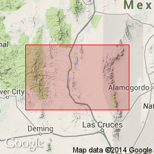
Summary:
Estimated to be 2,900+/-ft thick. Divided into two formally named members, the Upper Cretaceous Jose Creek member at the base and the Upper Cretaceous and Tertiary? Hall [Lake] member at the top. Unconformably overlies the Mesaverde formation. The next youngest unit in the area is some Quaternary valley fill and gravel. McRae considered to be a continental deposit laid down perhaps in an isolated basin. The Jose Creek probably was an alluvial fan or mudflow deposit. The florule in the Jose Creek suggests humid-tropical or semitropical area. Source area for McRae was probably west of the Rio Grande in west-central NM. If upper part is Tertiary, it is probably correlative with parts of the Galisteo, Baca, Raton, Animas, Ojo Alamo, and Nacimiento formations of central and northern NM. Cross section, stratigraphic chart. Report area is concerned with areas in the southern part of Elephant Butte Reservoir, south-central NM in the Orogrande basin.
Source: GNU records (USGS DDS-6; Denver GNULEX).
- Usage in publication:
-
- McRae Formation*
- Modifications:
-
- Areal extent
- AAPG geologic province:
-
- Orogrande basin
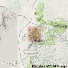
Summary:
Mapped in county east of Sierra Co where type exposures lie. Crops out only in west-central part of mapped area (geologic map) in four exposures in T9S, R10E, and in one exposure in T10S, R10E, and in one exposure on the northeast side of the mapped area in T9S, R13E. Term Cub Mountain Formation was applied to same rocks by two previous authors (Bodine, 1964; Weber, 1964), but authors of this report agree with Thompson (1966) that they are McRae, and name Cub Mountain not needed. Is in contact with Oligocene Walker Andesite Breccia Member of the Sierra Blanca Volcanics and with the Pliocene Ogallala Formation. Is younger than the Upper Cretaceous Mesaverde Formation. Of Late Cretaceous and early Tertiary age.
Source: GNU records (USGS DDS-6; Denver GNULEX).
- Usage in publication:
-
- McRae Formation
- Modifications:
-
- Overview
- AAPG geologic province:
-
- Orogrande basin
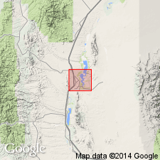
Summary:
Mapped (geologic map) in east part of area, Sierra Co, NV in the Orogrande basin. Unconformably overlies Mesaverde Formation. Divided into the Jose Creek (at base) and Hall Lake (at top) Members. Is 1,004 m thick. Fossil plants (listed) found in Jose Creek. Ceratopsian dinosaur remains found in both members. Cretaceous age.
Source: GNU records (USGS DDS-6; Denver GNULEX).
For more information, please contact Nancy Stamm, Geologic Names Committee Secretary.
Asterisk (*) indicates published by U.S. Geological Survey authors.
"No current usage" (†) implies that a name has been abandoned or has fallen into disuse. Former usage and, if known, replacement name given in parentheses ( ).
Slash (/) indicates name conflicts with nomenclatural guidelines (CSN, 1933; ACSN, 1961, 1970; NACSN, 1983, 2005, 2021). May be explained within brackets ([ ]).