- Usage in publication:
-
- McCurtain shale member*
- Modifications:
-
- Named
- Dominant lithology:
-
- Shale
- AAPG geologic province:
-
- Chautauqua platform
Summary:
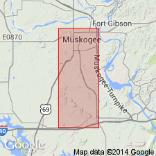
Named as basal member (of 4 named members) of McAlester shale. Name McAlester is one of five formations that replace use of Winslow formation (not used). [Preferred status of Winslow as a result of the study not clearly stated.] Named for the fact that part of the town of McCurtain, Haskell Co, OK, is built on this shale. Type locality stated to be in an area mapped by W. T. Thom, Jr. (unpublished). Area of this report is in Muskogee Co, OK on the Chautauqua platform. Consists mostly of 130 ft of dark blue fissile shale containing layers of iron concretions, and the Upper Hartshorne coal which is less than 1 ft thick. Conformably overlies the Hartshorne sandstone; underlies Warner sandstone member (new) of McAlester shale. Stratigraphic table. Columnar section. Of Early Pennsylvanian age.
Source: GNU records (USGS DDS-6; Denver GNULEX).
For more information, please contact Nancy Stamm, Geologic Names Committee Secretary.
Asterisk (*) indicates published by U.S. Geological Survey authors.
"No current usage" (†) implies that a name has been abandoned or has fallen into disuse. Former usage and, if known, replacement name given in parentheses ( ).
Slash (/) indicates name conflicts with nomenclatural guidelines (CSN, 1933; ACSN, 1961, 1970; NACSN, 1983, 2005, 2021). May be explained within brackets ([ ]).

