The National Geologic Map Database is migrating to a new infrastructure. We apologize for any service disruptions during this process.
|
|---|


- Usage in publication:
-
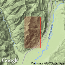
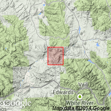
- McCoy formation
- Modifications:
-
- Original reference
- Dominant lithology:
-
- Shale
- Sandstone
- Quartzite
- Conglomerate
- Limestone
- AAPG geologic province:
-
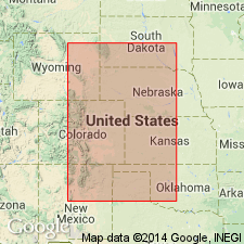
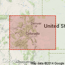
- Eagle basin
Summary:
Pg. 1265-1267. McCoy formation. The Pennsylvanian sediments at McCoy, Eagle County, northwestern Colorado, are here given name McCoy formation for following reasons: the beds form lower part of so-called "Undifferentiated Carboniferous" on Colorado State geologic map. The contained fauna is a unit and cannot be divided into zones. Correlation with Midcontinent Cherokee shale can be made precisely. The formation is unique. It is very fossiliferous, fossils occurring in thin beds of limestone and black shale, which are separated from each other by beds of red shales and massive arkosic conglomerates 50 feet or more thick. Thickness of the conglomerates above the measured section is unknown. Includes at base 200+/- feet of thin-bedded pink quartzites, interbedded with maroon and red micaceous shales, which are separated from rest of formation by seeming unconformable, probably due to deltaic nature of sediments. General aspect of all fossils seems to be lower Cherokee. Thickness of measured section of formation at McCoy aggregates 1,011 feet. It rests on undifferentiated Cambrian or Ordovician and granite.
Source: US geologic names lexicon (USGS Bull. 896, p. 1249).
- Usage in publication:
-
- McCoy formation
- Modifications:
-
- Biostratigraphic dating
- AAPG geologic province:
-
- Eagle basin
Summary:
Pg. 947. McCoy formation. A comparison of fauna of Hermosa formation with that of McCoy formation shows them to be identical and therefore equivalent in age. [Middle Pennsylvanian].
Source: US geologic names lexicon (USGS Bull. 896, p. 1249).
- Usage in publication:
-
- McCoy formation
- Modifications:
-
- Revised
- AAPG geologic province:
-
- Eagle basin
- Green River basin
Summary:
McCoy in report area extends from Eagle into Routt Co, CO, Ts1 and 2S, Rs82 to 84W, Eagle and Greater Green River basins. Extended to include all rocks from top of Leadville limestone to base of State Bridge siltstone. Thickness thus modified from 1,000+ ft according to Roth (1930) to 3,500+ ft. Lower contact disconformable. Upper contact conformable. Lower two-thirds widely distributed in central and southern part of McCoy area. Upper one-third forms cliffs and canyons and is exposed in central and southwest part of area. Geologic map. Lower part previously called Weber? formation in this area. Upper part previously called Maroon formation in this area. Section 3,567 ft thick above Leadville and beneath State Bridge measured and described. WALCHIA bed 68 ft thick named for the fossil plant remains identified in measured section about 1,187 ft above base. Columnar section. Fossil evidence gives age of "early" Pennsylvanian, or Des Moines.
Source: GNU records (USGS DDS-6; Denver GNULEX).
- Usage in publication:
-
- McCoy Formation
- Modifications:
-
- Not used
Summary:
Not used in McCoy area for the fossiliferous part of the Pennsylvanian because it has been revised in different ways resulting in confusion concerning its upper and lower boundaries. Name Minturn Formation from Minturn-Pando area used as replacement term in McCoy area, CO in the Eagle basin.
Source: GNU records (USGS DDS-6; Denver GNULEX).
For more information, please contact Nancy Stamm, Geologic Names Committee Secretary.
Asterisk (*) indicates published by U.S. Geological Survey authors.
"No current usage" (†) implies that a name has been abandoned or has fallen into disuse. Former usage and, if known, replacement name given in parentheses ( ).
Slash (/) indicates name conflicts with nomenclatural guidelines (CSN, 1933; ACSN, 1961, 1970; NACSN, 1983, 2005, 2021). May be explained within brackets ([ ]).