The National Geologic Map Database is migrating to a new infrastructure. We apologize for any service disruptions during this process.
|
|---|


- Usage in publication:
-
- McCaulley dolomite
- Modifications:
-
- Original reference
- Dominant lithology:
-
- Dolomite
- AAPG geologic province:
-
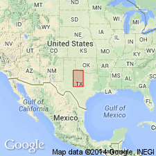
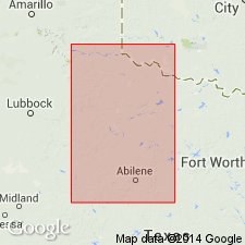
- Permian basin
- Palo Duro basin
Summary:
Pg. 26, pl. 1. McCaulley dolomite. A series of white, chalky dolomites comprising a thickness of [3?] to 20 feet, consisting of 1-inch to 1-foot dolomites separated by 6-inch to 1-foot partings of red and blue shales. Is older than Aspermont dolomite and younger than Guthrie dolomite. Included in Double Mountain group.
Source: US geologic names lexicon (USGS Bull. 896, p. 1247).
- Usage in publication:
-
- McCaulley beds
- Modifications:
-
- Areal extent
- AAPG geologic province:
-
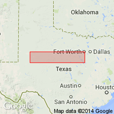
- Permian basin
- Palo Duro basin
Summary:
Pg. 951, pl. 9. Acme dolomite, which lies 64 feet above Mangum dolomite and 90 feet below Guthrie dolomite, can be correlated with reasonable certainty with McCaulley beds of Fisher County, [Texas].
Source: US geologic names lexicon (USGS Bull. 896, p. 1247).

- Usage in publication:
-
- McCaulley dolomite†
- Modifications:
-
- Abandoned
- AAPG geologic province:
-
- Permian basin
- Palo Duro basin
Summary:
Pg. 168. Acme dolomite is probably same as McCaulley dolomite, and McCaulley dolomite is discarded, as Acme is in more general use.
Source: US geologic names lexicon (USGS Bull. 896, p. 1247).
- Usage in publication:
-
- McCaulley dolomite
- Modifications:
-
- Revised
- AAPG geologic province:
-
- Permian basin
Summary:
Pg. 44-45. McCaulley dolomite reallocated to Blaine formation. [Considered unranked.]
Source: US geologic names lexicon (USGS Bull. 1200, p. 2290).
For more information, please contact Nancy Stamm, Geologic Names Committee Secretary.
Asterisk (*) indicates published by U.S. Geological Survey authors.
"No current usage" (†) implies that a name has been abandoned or has fallen into disuse. Former usage and, if known, replacement name given in parentheses ( ).
Slash (/) indicates name conflicts with nomenclatural guidelines (CSN, 1933; ACSN, 1961, 1970; NACSN, 1983, 2005, 2021). May be explained within brackets ([ ]).