

- Usage in publication:
-
- McCarthy Creek shales*
- Modifications:
-
- Original reference
- Dominant lithology:
-
- Shale
- Slate
- AAPG geologic province:
-
- Alaska Southern region
Summary:
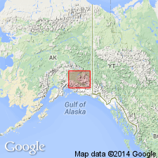
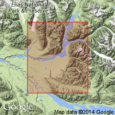
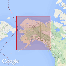
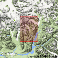
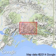
Pg. 426. McCarthy Creek shales. A series of soft, black, highly fissile shales and slates, typically exposed on McCarthy Creek, Nizina-Tanana region, southern Alaska. Rest on Chitistone limestone (new). Underlie (unconformably?) Kennicott series (new). Contain Triassic fossils. Shown on geologic sketch map of Wrangell Mountains and adjacent area; extend northward from McCarthy Creek for a distance of 6 or 8 miles. Profoundly folded; cleavage and fissility cause shales to disintegrate and form mountains with smooth pyramidal forms.
Source: US geologic names lexicon (USGS Bull. 896, p. 1247); supplemental information from GNU records (USGS DDS-6; Menlo GNULEX).
- Usage in publication:
-
- McCarthy shale*
- Modifications:
-
- Revised
- Age modified
- Biostratigraphic dating
- AAPG geologic province:
-
- Alaska Southern region
Summary:
McCarthy shale. McCarthy Creek shale of Rohn (1900) designated McCarthy shale in Nizina district, Alaska. Is essentially shale, although at its base are numerous thin limestone beds. Thickness uncertain, may be as much as 3,000 feet. Unconformably underlies Kennicott formation. Age is Late Triassic based on fossils identified by T.W. Stanton.
Type locality [designated] between McCarthy Creek and Nizina River.
Source: Modified from GNU records (USGS DDS-6; Menlo GNULEX).

- Usage in publication:
-
- McCarthy shale*
- Modifications:
-
- Overview
- AAPG geologic province:
-
- Alaska Southern region
Summary:
The simplified named McCarthy shale has been in use many years. The underlying formation is now known as Nizina limestone, a name introduced many years ago for the upper thin-bedded limestones composing top part of Chitistone limestone as originally defined. Chitistone now being restricted to the massive limestones forming lower part of original Chitistone.
Source: US geologic names lexicon (USGS Bull. 896, p. 1247).
- Usage in publication:
-
- [McCarthy formation*]
- Modifications:
-
- Overview
- AAPG geologic province:
-
- Alaska Southwestern region
Summary:
Appears on map legend; in Copper River region, central Alaska. Age is Late Triassic.
Source: US geologic names lexicon (USGS Bull. 1200, p. 2289).
- Usage in publication:
-
- McCarthy Formation*
- Modifications:
-
- Redescribed
- Age modified
- Dominant lithology:
-
- Shale
- Limestone
- Siltstone
- AAPG geologic province:
-
- Alaska Southern region
Summary:
McCarthy Formation. McCarthy Shale is renamed McCarthy Formation inasmuch as shale is only minor constituent of unit. Divisible into 2 mappable units: upper predominantly silty limestone member containing Early Jurassic fossils (R.W. Imlay, written commun., 1961); and lower shale, siltstone and silty limestone member containing in its middle part fossils of Late Triassic age. Age therefore is Late Triassic and Early Jurassic.
Source: GNU records (USGS DDS-6; Menlo GNULEX).
- Usage in publication:
-
- McCarthy Formation*
- Modifications:
-
- Areal extent
- AAPG geologic province:
-
- Alaska Southern region
Summary:
McCarthy Formation. Lower member (Late Triassic) of McCarthy Formation is geographically extended into eastern part of Valdez quadrangle (Domain I), east of Chesnina River, southern Alaska.
Source: GNU records (USGS DDS-6; Menlo GNULEX).
For more information, please contact Nancy Stamm, Geologic Names Committee Secretary.
Asterisk (*) indicates published by U.S. Geological Survey authors.
"No current usage" (†) implies that a name has been abandoned or has fallen into disuse. Former usage and, if known, replacement name given in parentheses ( ).
Slash (/) indicates name conflicts with nomenclatural guidelines (CSN, 1933; ACSN, 1961, 1970; NACSN, 1983, 2005, 2021). May be explained within brackets ([ ]).