- Usage in publication:
-
- McCann sandstone
- Modifications:
-
- Original reference
- Dominant lithology:
-
- Sandstone
- AAPG geologic province:
-
- Chautauqua platform
Summary:
Pg. 175-177. McCann sandstone. Dark-red or mottled sandstone, 2 to 5 feet thick, forming basal ledge of Harper formation. Not known to have any counterpart in Kansas. It forms dividing line from blue to red shales, or from the Wellington to the Harper. Age is Permian.
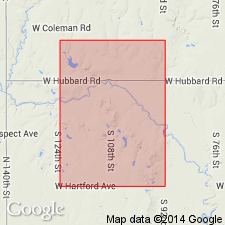
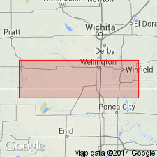
Named from McCann's quarry, on Deer Creek, 20 mi southwest of Blackwell, Kay Co., north-central OK.
Source: US geologic names lexicon (USGS Bull. 896, p. 1247).

- Usage in publication:
-
- McCann sandstone†
- Modifications:
-
- [Abandoned]
- AAPG geologic province:
-
- Chautauqua platform
Summary:
Pg. 235 (Obsolete Oklahoma names). McCann sandstone died a natural death.
Source: US geologic names lexicon (USGS Bull. 896, p. 1247).
For more information, please contact Nancy Stamm, Geologic Names Committee Secretary.
Asterisk (*) indicates published by U.S. Geological Survey authors.
"No current usage" (†) implies that a name has been abandoned or has fallen into disuse. Former usage and, if known, replacement name given in parentheses ( ).
Slash (/) indicates name conflicts with nomenclatural guidelines (CSN, 1933; ACSN, 1961, 1970; NACSN, 1983, 2005, 2021). May be explained within brackets ([ ]).

