- Usage in publication:
-
- Maverick shale
- Modifications:
-
- First used
- Dominant lithology:
-
- Shale
- AAPG geologic province:
-
- Basin-and-Range province
Summary:
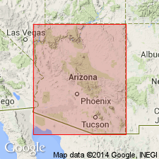
Maverick shale of Mazatzal Mountains (500 to 800 feet thick) underlies Mazatzal quartzite and overlies Deadman quartzite in generalized columnar section of central Arizona (composite of Mazatzal Mountains, Pine Creek, and Tonto basin areas). Age given as Precambrian.
Source: GNU records (USGS DDS-6; Menlo GNULEX).

- Usage in publication:
-
- Maverick shale
- Modifications:
-
- Named
- Dominant lithology:
-
- Shale
- AAPG geologic province:
-
- Basin-and-Range province
Summary:
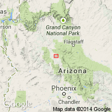
Named for its typical occurrence in Maverick Basin. Type section designated on east wall of Maverick Basin, northwest part of Mazatzal Mountains [approximately 34 deg 06'N, 111 deg 31'W, Table Mountain 7.5' quad, Yavapai Co, AZ]. Also occurs in Four Peaks area where Mazatzal quartzite and unit form roof pendant over intrusion of granite. [Rocks were included in Mazatzal quartzite of Wilson (1922)]. Consists of thin-bedded, locally ripple marked, fine-grained, dense, gray shale containing alternating thin sandy to quartzitic beds in upper part. At North Peak ranges from gray, dark gray to maroon with light-gray diffusion spots; south of North Peak is gray to pale greenish gray on fresh fracture, weathering dull gray or pale yellowish in color. Is 800 ft thick at Maverick Basin; thins to 500 ft at North Peak. Overlies with apparent conformity Deadman quartzite (new) and underlies with apparent conformity Mazatzal quartzite [now restricted to upper quartzitic beds of Wilson (1922)]. Assigned older Precambrian age.
Source: GNU records (USGS DDS-6; Menlo GNULEX).

- Usage in publication:
-
- Maverick Shale
- Modifications:
-
- Age modified
- Revised
- AAPG geologic province:
-
- Basin-and-Range province
Summary:
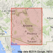
Maverick Shale is shown as middle formation (of 3) of Mazatzal Group in Mazatzal Mountains area. Described as a coarsening-upwards green siltstone sequence. Overlies Deadman Quartzite and underlies Mazatzal Peak Quartzite (both of Mazatzal Group). Age given as Early Proterozoic.
Source: GNU records (USGS DDS-6; Menlo GNULEX).
For more information, please contact Nancy Stamm, Geologic Names Committee Secretary.
Asterisk (*) indicates published by U.S. Geological Survey authors.
"No current usage" (†) implies that a name has been abandoned or has fallen into disuse. Former usage and, if known, replacement name given in parentheses ( ).
Slash (/) indicates name conflicts with nomenclatural guidelines (CSN, 1933; ACSN, 1961, 1970; NACSN, 1983, 2005, 2021). May be explained within brackets ([ ]).

