The National Geologic Map Database is migrating to a new infrastructure. We apologize for any service disruptions during this process.
|
|---|


- Usage in publication:
-
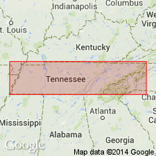
- Maury green shale
- Modifications:
-
- Named
- Dominant lithology:
-
- Shale
- AAPG geologic province:
-
- Appalachian basin
Summary:
Named the Maury green shale in western and central TN for Maury Co., TN. Consists of green or greenish shale, few inches to 5 feet thick, with embedded roundish concretions of calcium phosphate from size of marbles to that of a man's head, and in kidney-like, cake-like, and gourd-like forms of various sizes. Unconformably overlies the Chattanooga black shale and underlies the Tullahoma formation. The Maury is of Early Mississippian age.
Source: GNU records (USGS DDS-6; Reston GNULEX).
For more information, please contact Nancy Stamm, Geologic Names Committee Secretary.
Asterisk (*) indicates published by U.S. Geological Survey authors.
"No current usage" (†) implies that a name has been abandoned or has fallen into disuse. Former usage and, if known, replacement name given in parentheses ( ).
Slash (/) indicates name conflicts with nomenclatural guidelines (CSN, 1933; ACSN, 1961, 1970; NACSN, 1983, 2005, 2021). May be explained within brackets ([ ]).