The National Geologic Map Database is migrating to a new infrastructure. We apologize for any service disruptions during this process.
|
|---|


- Usage in publication:
-
- Mauch Chunk Group
- Modifications:
-
- Revised
- AAPG geologic province:
-
- Appalachian basin
Summary:
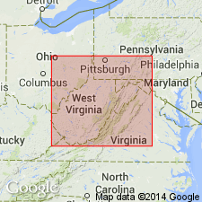
Informal division of Mauch Chunk Group into upper and lower parts is used in this report. Lower Mauch Chunk includes Lillydale Shale and laterally equivalent Webster Springs Sandstone, and overlying Reynolds Limestone. Upper Mauch Chunk Group is undifferentiated. Contact with overlying Pottsville Group is erosional unconformity. Age of Mauch Chunk considered Late Mississippian only, while Pottsville is Early Pennsylvanian.
Source: GNU records (USGS DDS-6; Reston GNULEX).
- Usage in publication:
-
- Mauch Chunk Formation
- Modifications:
-
- Areal extent
- Dominant lithology:
-
- Shale
- Mudstone
- Siltstone
- Sandstone
- Conglomerate
- AAPG geologic province:
-
- Appalachian basin
Summary:
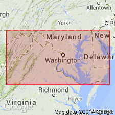
Mauch Chunk Formation is uppermost and probably most easily recognized Mississippian unit in MD, though poorly exposed here. Composed of red shales, mudstones, siltstones, sandstones, and conglomerate, which range from 500 to 800 ft in study area. The Reynolds Member, a thin marine interval of calcareous shale, occurs approximately 20 ft above the base of the Mauch Chunk. This member is at the approximate interval of the Reynolds Limestone [Reynolds Limestone Member of Bluefield Formation of Mauch Chunk Group] of northern WV. Mississippian-Pennsylvanian boundary conventionally placed at contact of Mauch Chunk with the unconformably overlying Pottsville Group. Correlated here with Chesterian Tar Spring, Vienna, Waltersburg, and Menard of upper Mississippi Valley.
Source: GNU records (USGS DDS-6; Reston GNULEX).
- Usage in publication:
-
- Mauch Chunk Group*
- Modifications:
-
- Areal extent
- AAPG geologic province:
-
- Appalachian basin
Summary:
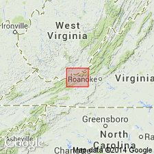
Use of Mauch Chunk Group extended into Giles County, Virginia, and bordering areas of Mercer, Summer, and Monroe Counties, West Virginia. Mauch Chunk Group is divided into Bluefield Formation, Hinton Formation, Princeton Sandstone, and Bluestone Formation, ascending.
Source: GNU records (USGS DDS-6; Reston GNULEX).
- Usage in publication:
-
- Mauch Chunk Formation
- Modifications:
-
- Areal extent
- AAPG geologic province:
-
- Appalachian basin
Summary:
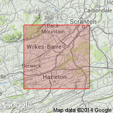
Mauch Chunk stratigraphy at this locality is characterized by repetitively stacked, 2- to 5-m-thick fining upward sequences characterized by alternation of non-red sandstones and red siltstones and mudstones containing paleosols and pedogenic carbonate. Sandstones have been interpreted as meandering stream deposits and the mudstones and siltstones as floodplain deposits. The Nescopeck paleosol occurs in the basal 3 m of the measured section and includes three distinct horizons: calcrete, slickensided silty claystone, and root-mottled siltstone. Soil is erosively truncated by non-red, cross-bedded channel sandstone. Age of the Mauch Chunk and its Nescopeck paleosol is Late Mississippian. [Though soil is referred to as Nescopeck Creek paleosol in the title, it is called simply Nescopeck throughout the text.]
Source: GNU records (USGS DDS-6; Reston GNULEX).
For more information, please contact Nancy Stamm, Geologic Names Committee Secretary.
Asterisk (*) indicates published by U.S. Geological Survey authors.
"No current usage" (†) implies that a name has been abandoned or has fallen into disuse. Former usage and, if known, replacement name given in parentheses ( ).
Slash (/) indicates name conflicts with nomenclatural guidelines (CSN, 1933; ACSN, 1961, 1970; NACSN, 1983, 2005, 2021). May be explained within brackets ([ ]).