- Usage in publication:
-
- Matthew's Landing marl*
- Modifications:
-
- Named
- Dominant lithology:
-
- Marl
- Sand
- Clay
- AAPG geologic province:
-
- Mid-Gulf Coast basin
Summary:
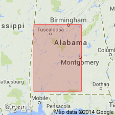
Bed at the base of Naheola series along the Alabama River in Wilcox Co., AL, 3 to 6 ft thick, is referred to in this report as Naheola marl or Matthew's Landing marl. Consists of glauconitic sands and dark-gray, nearly black sandy clays. Contains marine fossils. Part of Midway group. Age is early Eocene.
Source: GNU records (USGS DDS-6; Reston GNULEX).

- Usage in publication:
-
- Matthews Landing marl member*
- Modifications:
-
- Revised
- AAPG geologic province:
-
- Mid-Gulf Coast basin
Summary:
Matthews Landing marl is reallocated to member status in Porters Creek clay of Midway group and redefined to include upper marls and limestones of Graveyard Hill section of Smith and others (1894: Report on geology of the Coastal Plain of Alabama: Alabama Geological Survey), which is generally referred to as Blacks Bluff interval or Porters Creek. These changes made because top of Matthews Landing is sharply defined, whereas, especially in central AL, where it attains maximum development, there seems to be no definite line to separate it from beds represented in Graveyard Hill section. In central AL, member consists of glauconitic sandy marl, sand, and limestone, but west of Alabama River it becomes sandy glauconitic clay that on weathering forms concretionary limonite. West of Tombigbee River, member is 3 to 8 ft thick; east of river, it thickens to about 100 ft in Wilcox Co., AL. If there are equivalent beds to the east they are included in Clayton Formation. Underlies Naheola formation. Age is Paleocene.
Source: GNU records (USGS DDS-6; Reston GNULEX).

- Usage in publication:
-
- Matthews Landing member
- Modifications:
-
- Areal extent
- AAPG geologic province:
-
- Mid-Gulf Coast basin
Summary:
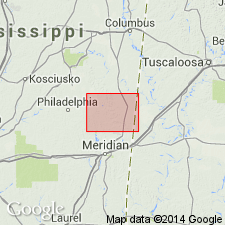
Described in Kemper Co., MS, as member of Porters Creek. Thickness 5 to 8 ft. Underlies Naheola formation and in some areas Fearn Springs member of Nanfalia formation.
Source: GNU records (USGS DDS-6; Reston GNULEX).

- Usage in publication:
-
- Matthews Landing Marl Member
- Modifications:
-
- Overview
- AAPG geologic province:
-
- Mid-Gulf Coast basin
Summary:
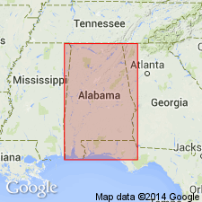
Matthews Landing Marl Member is described as about 20 ft of brownish-gray calcareous, glauconitic, shelly, silty clay at the top of the Porters Creek Formation of Midway Group. Grades eastward into calcareous micaceous silt and fine-grained sand. East of Crenshaw Co., facies equivalent to Porters Creek are included in the Clayton Formation. Age is Paleocene.
Source: GNU records (USGS DDS-6; Reston GNULEX).
For more information, please contact Nancy Stamm, Geologic Names Committee Secretary.
Asterisk (*) indicates published by U.S. Geological Survey authors.
"No current usage" (†) implies that a name has been abandoned or has fallen into disuse. Former usage and, if known, replacement name given in parentheses ( ).
Slash (/) indicates name conflicts with nomenclatural guidelines (CSN, 1933; ACSN, 1961, 1970; NACSN, 1983, 2005, 2021). May be explained within brackets ([ ]).

