- Usage in publication:
-
- Matilde Formation*
- Modifications:
-
- Named
- Dominant lithology:
-
- Tuff
- Sandstone
- Siltstone
Summary:
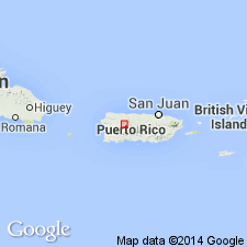
Matilde Formation, here named in the Bayaney quadrangle, consists of pale-green to pale-blue fine-grained tuff and grayish-brown volcanic sandstone and siltstone with minor volcanic breccia and andesite lava. Disconformably overlies Robles Formation; conformably underlies Milagros Formation. Thickness ranges from 115 to 620 m. Age is late Paleocene and Eocene based on fossils.
Source: GNU records (USGS DDS-6; Reston GNULEX).

- Usage in publication:
-
- Matilde Formation*
- Modifications:
-
- Age modified
Summary:
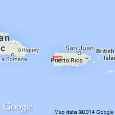
Contact between rocks of the Rio Culebrinas and underlying Milagros Formations in the eastern San Sebastian and Bayaney quadrangles is conformable and gradational. The Guacio Member of the Rio Culebrinas, always present at the base of the Rio Culebrinas to the southwest, is not present where the Rio Culebrinas rests on the Milagros. The Milagros may be in part equivalent to the lower part of the Rio Culebrinas of the southern area. Early middle Eocene Foraminifera collected from the Matilde Formation which underlies the Milagros, support this interpretation and indicates that the Milagros is probably middle Eocene, same as the Rio Culebrinas. An unconformity between Cretaceous and middle Eocene rocks is recognized in west-central PR. The unconformity may also be present in northwestern PR as Paleocene and possibly lower Eocene rocks are missing there.
Source: GNU records (USGS DDS-6; Reston GNULEX).
For more information, please contact Nancy Stamm, Geologic Names Committee Secretary.
Asterisk (*) indicates published by U.S. Geological Survey authors.
"No current usage" (†) implies that a name has been abandoned or has fallen into disuse. Former usage and, if known, replacement name given in parentheses ( ).
Slash (/) indicates name conflicts with nomenclatural guidelines (CSN, 1933; ACSN, 1961, 1970; NACSN, 1983, 2005, 2021). May be explained within brackets ([ ]).

