- Usage in publication:
-
- Mather Gorge Formation
- Modifications:
-
- Overview
- AAPG geologic province:
-
- Piedmont-Blue Ridge province
Summary:
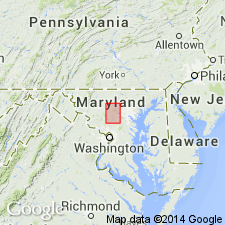
Mather Gorge Formation on the State map is divided into two lithologic map units: greenish-gray to gray, fine- to coarse-grained schist and lesser mica gneiss; and light to medium-gray, fine- to medium-grained metagraywacke and lesser semi-pelitic schist. Mapped over large portion of northern Fairfax Co. Unconformably underlies the Popes Head Formation. Late Proterozoic and Cambrian age indicated by map symbol.
Source: GNU records (USGS DDS-6; Reston GNULEX).

- Usage in publication:
-
- Mather Gorge Formation*
- Modifications:
-
- Revised
- AAPG geologic province:
-
- Piedmont-Blue Ridge province
Summary:
Mather Gorge Formation, Prettyboy Schist, and Marburg Formation (reinstated) revised to include rocks previously assigned to Pleasant Grove Formation (here abandoned). Recent mapping has shown that Pleasant Grove consists of sheared rocks of the three formations.
Source: GNU records (USGS DDS-6; Reston GNULEX).

- Usage in publication:
-
- Mather Gorge Formation*
- Modifications:
-
- Overview
- AAPG geologic province:
-
- Piedmont-Blue Ridge province
Summary:
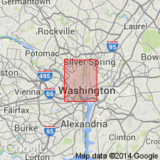
The Mather Gorge Formation in the mapped area consists of fine- to medium-grained, light- to medium-gray, yellowish- to reddish-brown-weathering metagraywacke and semipelitic schist that contains interlayers of quartz-rich schist. At places the unit contains thin layers of schistose amphibolite. The rock occurs as large olistoliths in the Sykesville Formation. The Mather Gorge is of Late Proterozoic and Early Cambrian age. Stratigraphic relationship with surrounding units not understood.
Source: GNU records (USGS DDS-6; Reston GNULEX).

- Usage in publication:
-
- Mather Gorge Formation*
- Modifications:
-
- Named
- Dominant lithology:
-
- Schist
- Metagraywacke
- Migmatite
- Phyllonite
- AAPG geologic province:
-
- Piedmont-Blue Ridge province
Summary:
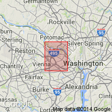
Named for Mather Gorge on both the VA and MD sides of Potomac River, Falls Church and Vienna 7.5-min quads, northern VA and south-central MD. Previously called Peters Creek Schist, but recent mapping indicates rocks in this area may not correlate with Peters Creek Schist at its type locality in PA. Mapped as far south as Culpeper basin boundary in central VA and northward into Gaithersburg, MD, 7.5-min quad. Subdivided into 1) greenish-gray to gray, reddish-weathering, fine- to coarse-grained, lustrous, quartz-rich schist; 2) light- to medium-gray, yellowish- to reddish-brown-weathering, fine- to medium-grained metagraywacke and semipelitic schist; 3) stromatic and lesser phlebitic migmatite; and 4) greenish-gray, red-brown-weathering, fine-grained, lustrous chlorite sericite phyllonite. In thrust fault contact with Sykesville Formation. Both formations form the Mather Gorge-Sykesville motif (a structural feature). Age is Late Proterozoic and (or) Early Cambrian.
Source: GNU records (USGS DDS-6; Reston GNULEX).
For more information, please contact Nancy Stamm, Geologic Names Committee Secretary.
Asterisk (*) indicates published by U.S. Geological Survey authors.
"No current usage" (†) implies that a name has been abandoned or has fallen into disuse. Former usage and, if known, replacement name given in parentheses ( ).
Slash (/) indicates name conflicts with nomenclatural guidelines (CSN, 1933; ACSN, 1961, 1970; NACSN, 1983, 2005, 2021). May be explained within brackets ([ ]).

