

- Usage in publication:
-
- Massie clay
- Modifications:
-
- Named
- Dominant lithology:
-
- Clay
- Shale
- AAPG geologic province:
-
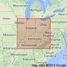
- Cincinnati arch
Summary:
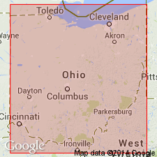
Name Massie clay applied to beds underlying Euphemia dolomite and overlying Laurel limestone in Springfield area. Derivation of name not stated.
Source: GNU records (USGS DDS-6; Reston GNULEX).
- Usage in publication:
-
- Massie clay shale
- Modifications:
-
- Overview
- AAPG geologic province:
-
- Cincinnati arch
Summary:
Massie clay well exposed on north side of Massie Creek, a short distance west of Cedarville, OH. Contains a typical Waldron fauna. Thickness 5.5 ft south of Yellow Springs, OH. A clay underlying Euphemia dolomite at Bryan Farm State Park, 5 mi northwest of Cedarville and closely resembling typical Waldron is identified as Massie or Waldron clay shale, although no diagnostic fossils were found there. Age is Silurian (Niagaran).
Source: GNU records (USGS DDS-6; Reston GNULEX).
- Usage in publication:
-
- Massie member
- Modifications:
-
- Revised
- AAPG geologic province:
-
- Cincinnati arch
Summary:
Unit shown on generalized section of western OH as uppermost member of Alger formation. Thickness 5 to 6 ft. Overlies Laurel member of Alger; underlies Euphemia formation.
Source: GNU records (USGS DDS-6; Reston GNULEX).
For more information, please contact Nancy Stamm, Geologic Names Committee Secretary.
Asterisk (*) indicates published by U.S. Geological Survey authors.
"No current usage" (†) implies that a name has been abandoned or has fallen into disuse. Former usage and, if known, replacement name given in parentheses ( ).
Slash (/) indicates name conflicts with nomenclatural guidelines (CSN, 1933; ACSN, 1961, 1970; NACSN, 1983, 2005, 2021). May be explained within brackets ([ ]).