

- Usage in publication:
-
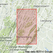
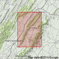
- Massanutten sandstone
- Modifications:
-
- Named
- Dominant lithology:
-
- Sandstone
- Quartzite
- AAPG geologic province:
-
- Appalachian basin
Summary:
Named the Massanutten sandstone for Massanutten Mountain, VA. Rocks of the formation vary in local characters, mainly in color, thickness, and degree of silicification, but white and red quartzites prevail. Basal beds are alternating dark sandstones and shales, succeeded by white and gray quartzites, which give way to thin-bedded red and brown sandstones and shales. Thickness is 600 to 800 feet. It overlies the Martinsburg shales and underlies the Lewistown limestone in the central Appalachian region of VA. The Massanutten sandstone is of Late Ordovician and Silurian age.
Source: GNU records (USGS DDS-6; Reston GNULEX).
- Usage in publication:
-
- Massanutten sandstone
- Modifications:
-
- Age modified
- AAPG geologic province:
-
- Appalachian basin
Summary:
Restricted the age of the Massanutten sandstone to Silurian only.
Source: GNU records (USGS DDS-6; Reston GNULEX).
- Usage in publication:
-
- Massanutten sandstone
- Modifications:
-
- Overview
- AAPG geologic province:
-
- Appalachian basin
Summary:
The Massanutten sandstone is a thick series of sandstones, quartzites, and conglomerates in the Massanutten Mountain area. Unit overlies the Martinsburg and underlies the Bloomsburg red beds. The definition by Geiger and Keith (1891) is invalidated because of misidentification of the unit in the Blue Ridge. Thornton (1953; unpublished thesis) designated the type locality.
Source: GNU records (USGS DDS-6; Reston GNULEX).
- Usage in publication:
-
- Massanutten Sandstone*
- Modifications:
-
- Overview
- AAPG geologic province:
-
- Appalachian basin
Summary:
The Massanutten Sandstone includes a thick sequence of sandstone and conglomerate occurring between the underlying Martinsburg Shale and overlying Bloomsburg Formation. Unit is considered to be of possible Early and Middle Silurian age and is correlative with the Tuscarora Sandstone, Rose Hill Formation, and Keefer Sandstone.
Source: GNU records (USGS DDS-6; Reston GNULEX).
For more information, please contact Nancy Stamm, Geologic Names Committee Secretary.
Asterisk (*) indicates published by U.S. Geological Survey authors.
"No current usage" (†) implies that a name has been abandoned or has fallen into disuse. Former usage and, if known, replacement name given in parentheses ( ).
Slash (/) indicates name conflicts with nomenclatural guidelines (CSN, 1933; ACSN, 1961, 1970; NACSN, 1983, 2005, 2021). May be explained within brackets ([ ]).