The National Geologic Map Database is migrating to a new infrastructure. We apologize for any service disruptions during this process.
|
|---|


- Usage in publication:
-
- Maryland Heights Member
- Modifications:
-
- Named
- Dominant lithology:
-
- Metasiltstone
- Metagraywacke
- Quartzite
- AAPG geologic province:
-
- Piedmont-Blue Ridge province
Summary:
Named the Maryland Heights Member of the Weverton Formation in MD and VA for Maryland Heights, Washington Co., MD. Unit extends into northern VA and possibly into southern PA. Consists of interbedded dark-greenish-gray, sandy metasiltstone, medium-gray, coarse-grained metagraywacke, and medium-light-gray quartzite. Thickness is 300 to 500 feet. Overlies the Buzzard Knob Member and underlies the Owens Creek Member, both of the Weverton Formation. The lower contact is placed below the phyllitic siltstone overlying quartzite of the Buzzard Knob Member and the upper contact of the Maryland Heights is placed where thin-bedded siltstones are replaced by thick-bedded graywacke of the Owens Creek. The Maryland Heights is of Early Cambrian age.
Source: GNU records (USGS DDS-6; Reston GNULEX).
- Usage in publication:
-
- Maryland Heights Member*
- Modifications:
-
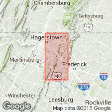
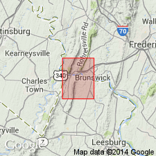
- Areal extent
- AAPG geologic province:
-
- Piedmont-Blue Ridge province
Summary:
Geographically extended the Maryland Heights Member of the Weverton Formation into easternmost WV. In MD, VA, and WV, the Maryland Heights consists of interbedded, dark greenish-gray metasiltstone, and dusky-blue to greenish-gray, very coarse-grained to granular quartzite. Thickness is 50 to 150 meters. Overlies the Buzzard Knob Member and underlies the Owens Creek Member, both of the Weverton Formation.
Source: GNU records (USGS DDS-6; Reston GNULEX).
For more information, please contact Nancy Stamm, Geologic Names Committee Secretary.
Asterisk (*) indicates published by U.S. Geological Survey authors.
"No current usage" (†) implies that a name has been abandoned or has fallen into disuse. Former usage and, if known, replacement name given in parentheses ( ).
Slash (/) indicates name conflicts with nomenclatural guidelines (CSN, 1933; ACSN, 1961, 1970; NACSN, 1983, 2005, 2021). May be explained within brackets ([ ]).