

- Usage in publication:
-
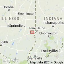
- Martinsville sand
- Modifications:
-
- First used
- Dominant lithology:
-
- Sand
- AAPG geologic province:
-
- Illinois basin
Summary:
Martinsville sand is an informal lithostratigraphic unit at the Martinsville alternative site that occurs above bedrock and below either the Petersburg Silt or the Glasford Formation. Unit has also been identified south of Martinsville. Unit is probably younger than the Lierle Clay, although no contacts between the units were observed. The Martinsville has three distinct intercalated facies that occur in varying stratigraphic order: thick and continuous sand and gravel, diamicton, and silty clay. The sand and gravel facies is as much as 30.9 ft thick. The diamicton facies reaches 9 ft in thickness and is characterized by a distinctive olive green color and a mineralogy rich in kaolinite plus chlorite. The silty clay ranges from loam to clay locally, and is as much as 4 ft thick, but is generally thin or absent.
Source: GNU records (USGS DDS-6; Reston GNULEX).
For more information, please contact Nancy Stamm, Geologic Names Committee Secretary.
Asterisk (*) indicates published by U.S. Geological Survey authors.
"No current usage" (†) implies that a name has been abandoned or has fallen into disuse. Former usage and, if known, replacement name given in parentheses ( ).
Slash (/) indicates name conflicts with nomenclatural guidelines (CSN, 1933; ACSN, 1961, 1970; NACSN, 1983, 2005, 2021). May be explained within brackets ([ ]).