- Usage in publication:
-
- Marshfield Center Formation
- Modifications:
-
- Named
- Dominant lithology:
-
- Silt
- Clay
- AAPG geologic province:
-
- New England province
Summary:
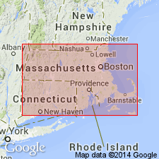
Allochthonous, glacially dislocated masses in the Marshfield Hills moraine are here named the Marshfield Center Formation for outcrops there and at Third Cliff, Scituate, MA. It consists of gray, compact, micaceous, slightly glauconitic, horizontally bedded silt and clay. Overlies older granite; is thrust into Pleistocene moraine. Thickness is up to 14 m. Age is Miocene, probably no younger than middle Miocene, based on pollen and spores.
Source: GNU records (USGS DDS-6; Reston GNULEX).
For more information, please contact Nancy Stamm, Geologic Names Committee Secretary.
Asterisk (*) indicates published by U.S. Geological Survey authors.
"No current usage" (†) implies that a name has been abandoned or has fallen into disuse. Former usage and, if known, replacement name given in parentheses ( ).
Slash (/) indicates name conflicts with nomenclatural guidelines (CSN, 1933; ACSN, 1961, 1970; NACSN, 1983, 2005, 2021). May be explained within brackets ([ ]).

