The National Geologic Map Database is migrating to a new infrastructure. We apologize for any service disruptions during this process.
|
|---|


- Usage in publication:
-
- Marshall shale
- Modifications:
-
- Named
- Dominant lithology:
-
- Shale
- AAPG geologic province:
-
- Arkoma basin
Summary:
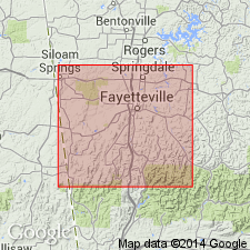
Marshall shale. Exposed in Washington County, Arkansas, in the Arkoma basin. Is a black, more or less bituminous shale. Thickness varies: in SE/4 sec. 3, T. 15 N., R. 30 W., is 10 feet thick; in SW/4 SW/4 sec. 20, T. 15 N., R. 30 W., is 8 feet thick; in the vicinity of the town of West Fork, is 40 to 80 feet thick. Overlies the Batesville sandstone (new) and underlies the Archimedes limestone (new). Age is Early Carboniferous. Report includes geologic map of Washington County, stratigraphic table, columnar sections.
Type locality not designated. Named from the shale mountain just east of Marshall, in Searcy Co., AR. [In a stratigraphic table shown on p. xiii of Introduction, J.C. Branner is credited with origin of this name.]
Source: Modified from GNU records (USGS DDS-6; Denver GNULEX).
For more information, please contact Nancy Stamm, Geologic Names Committee Secretary.
Asterisk (*) indicates published by U.S. Geological Survey authors.
"No current usage" (†) implies that a name has been abandoned or has fallen into disuse. Former usage and, if known, replacement name given in parentheses ( ).
Slash (/) indicates name conflicts with nomenclatural guidelines (CSN, 1933; ACSN, 1961, 1970; NACSN, 1983, 2005, 2021). May be explained within brackets ([ ]).