The National Geologic Map Database is migrating to a new infrastructure. We apologize for any service disruptions during this process.
|
|---|


- Usage in publication:
-
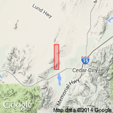
- Marshall Creek breccia
- Modifications:
-
- Named
- Dominant lithology:
-
- Breccia
- AAPG geologic province:
-
- Great Basin
Summary:
Name applied to a fanglomerate-mudflow breccia in the western and southeastern part of the border zone of the Three Peaks intrusion, Iron Co., UT in the Great Basin province. This breccia occurs at the disconformable contact between the "Entrada" formation and the basal quartzite conglomerate of the Iron Springs formation (named). Occurs as irregular lenses. Variable in thickness from 0 to 50+ ft within a short distance. Contains predominately angular blocks of Homestake limestone up to 5 ft in diameter, and rarely much smaller fragments of "Entrada". Locally intertongues with basal conglomerate of the Iron Springs. Thought to be of local derivation. Geologic map. Of Late Cretaceous age [age not clearly stated. Source of geographic name and designation of a type locality not stated.]
Source: GNU records (USGS DDS-6; Denver GNULEX).
- Usage in publication:
-
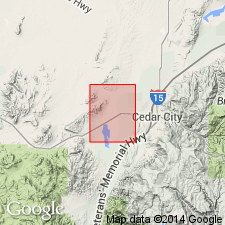
- Marshall Creek Breccia*
- Modifications:
-
- Overview
- AAPG geologic province:
-
- Great Basin province
Summary:
Name applied to a 0-100 ft thick resistant dark gray unsorted breccia containing pebble- and cobble-size clasts as much as 5 ft in diameter in a limy and sandy matrix. Clasts almost entirely of Homestake Limestone Member of Carmel Formation. Overlies banded member of Carmel. Intertongues with lower member of Iron Springs Formation. Mapped at south edge of the Three Peaks pluton at north central edge of quad., Iron Co., UT in the Great Basin province. Of fanglomerate or of mudflow origin. Of Late Cretaceous? age.
Source: GNU records (USGS DDS-6; Denver GNULEX).
For more information, please contact Nancy Stamm, Geologic Names Committee Secretary.
Asterisk (*) indicates published by U.S. Geological Survey authors.
"No current usage" (†) implies that a name has been abandoned or has fallen into disuse. Former usage and, if known, replacement name given in parentheses ( ).
Slash (/) indicates name conflicts with nomenclatural guidelines (CSN, 1933; ACSN, 1961, 1970; NACSN, 1983, 2005, 2021). May be explained within brackets ([ ]).