The National Geologic Map Database is migrating to a new infrastructure. We apologize for any service disruptions during this process.
|
|---|


- Usage in publication:
-
- Markham Silt Member
- Modifications:
-
- Original reference
- Dominant lithology:
-
- Silt
- Sand
- Loess
- AAPG geologic province:
-
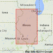
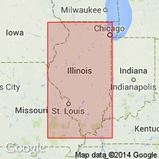
- Illinois basin
Summary:
Pg. 62; Illinois Bull., no. 95, p. 225, 1975. Markham Silt Member of Roxana Silt. Generally consists of colluvium of silt with some sand and a few small pebbles. Commonly 1 to 3 feet thick. Rests on Sangamon Soil or on an erosional surface truncating the Sangamon. Underlies or occurs within Chapin Soil. Widely present in western and central Illinois. Age is Pleistocene (Wisconsinan Age; Atltonian Subage).
Type section: Chapin section, in roadcuts along IL Highway 104, 2.4 km northwest of Markham on west side of Mauvaise Terre Creek, in SW/4 NE/4 NW/4 sec. 8, T. 15 N., R. 11 W., Morgan Co., west-central IL. Named from village of Markham, 4 mi west of Jacksonville, Morgan Co., west-central IL.
Source: Publication; Hdbk Illinois stratigraphy (Illinois Geol. Survey Bull. 95, p. 225); US geologic names lexicon (USGS Bull. 1520, p. 194-195).
- Usage in publication:
-
- Markham Silt Member
- Modifications:
-
- Overview
- AAPG geologic province:
-
- Illinois basin
Summary:
The lower Markham Silt Member, upper Meadow Loess Member, and an informal sandy-silt facies are recognized in the Roxana Silt. The McDonough Loess Member and associated Pleasant Grove Soil are probably not valid units according to authors and are not recognized in this study. The Markham is composed of leached, pedogenically altered material. Contains a moderate amount of sand and traces of gravel. Contains more silt, vermiculite, and unweathered minerals than the underlying Glasford Formation. The Meadow Loess Member composes the uppermost 80 to 90 percent of the Roxana. It consists of calcareous and oxidized massive silt loam. The informal sandy-silt facies composes the entire Roxana in eastern IL. Though lithologically similar to the Markham, it is not temporally correlative.
Source: GNU records (USGS DDS-6; Reston GNULEX).
- Usage in publication:
-
- Markham Member*
- Modifications:
-
- Overview
- AAPG geologic province:
-
- Illinois basin
Summary:
Pg. 15, 52, 102-103. Markham Member of Roxana Silt of Mason Group. In Bellefontaine quarry section (reference section for the Roxana) is a dark yellow brown silt loam, 2.6 feet (0.8 m) thick, overlying Teneriffe Silt and underlying Meadow Member of Roxana. [Age is considered Pleistocene (Wisconsinan Age; Woodfordian Subage), based on age of Roxana Silt.]
Source: Publication.
For more information, please contact Nancy Stamm, Geologic Names Committee Secretary.
Asterisk (*) indicates published by U.S. Geological Survey authors.
"No current usage" (†) implies that a name has been abandoned or has fallen into disuse. Former usage and, if known, replacement name given in parentheses ( ).
Slash (/) indicates name conflicts with nomenclatural guidelines (CSN, 1933; ACSN, 1961, 1970; NACSN, 1983, 2005, 2021). May be explained within brackets ([ ]).