

- Usage in publication:
-
- Maple Falls Member
- Modifications:
-
- Named
- AAPG geologic province:
-
- Puget Sound province
Summary:
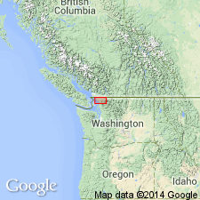
Unit is named the Maple Falls Member of the Chuckanut Formation. Exposed on Sumas Mountain and in the North Fork Nooksack River valley area of the central part of the largest outcrop belt of the Chuckanut Formation, which extends from the San Juan Islands into the foothills of the North Cascades, WA. Consists of alternating conglomerate-rich coarse-grained sandstone strata and fine-grained siltstone and mudstone beds, interpreted as interfingering alluvial fan and flood-plain deposits. Overlies and possibly interfingers with the Padden Member (new) and Slide Member (new), both of the Chuckanut Formation; is bounded on the north and west by faults. Thickness at the type section is more than 800 m. Age is late middle to late(?) Eocene based on stratigraphic correlation with the Padden Member. (B1565)
Source: GNU records (USGS DDS-6; Menlo GNULEX).
For more information, please contact Nancy Stamm, Geologic Names Committee Secretary.
Asterisk (*) indicates published by U.S. Geological Survey authors.
"No current usage" (†) implies that a name has been abandoned or has fallen into disuse. Former usage and, if known, replacement name given in parentheses ( ).
Slash (/) indicates name conflicts with nomenclatural guidelines (CSN, 1933; ACSN, 1961, 1970; NACSN, 1983, 2005, 2021). May be explained within brackets ([ ]).