The National Geologic Map Database is migrating to a new infrastructure. We apologize for any service disruptions during this process.
|
|---|


- Usage in publication:
-
- Manokin formation
- Modifications:
-
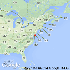
- Areal extent
- Dominant lithology:
-
- Sand
- AAPG geologic province:
-
- Atlantic Coast basin
Summary:
The informal Manokin formation in DE is described as a gray to olive gray, fine to coarse sand and silty and clayey sand with common beds of clay or silt. Contact with the underlying St. Marys Formation ranges from abrupt to gradational. In this report, the boundary is placed at the 50 percent clay/50 percent sand where first encountered above the typical St. Marys. The lower silty sand is here designated the Manokin A. The upper fine to coarse sand with scattered clay beds is here designated the Manokin B. Contact with the overlying Bethany formation (informal) is gradational to sharp. Age is late Miocene.
Source: GNU records (USGS DDS-6; Reston GNULEX).
For more information, please contact Nancy Stamm, Geologic Names Committee Secretary.
Asterisk (*) indicates published by U.S. Geological Survey authors.
"No current usage" (†) implies that a name has been abandoned or has fallen into disuse. Former usage and, if known, replacement name given in parentheses ( ).
Slash (/) indicates name conflicts with nomenclatural guidelines (CSN, 1933; ACSN, 1961, 1970; NACSN, 1983, 2005, 2021). May be explained within brackets ([ ]).