- Usage in publication:
-
- Mannie clay
- Modifications:
-
- Named
- Dominant lithology:
-
- Clay
- Shale
- AAPG geologic province:
-
- Appalachian basin
Summary:
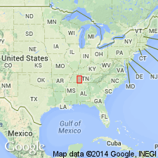
Mannie shale or shaly clay forms top of Richmond group in Tennessee River Valley. Is upper part of Fernvale formation. Described as brownish and bluish fossiliferous shaly clays, 16 to 35 ft thick. Overlies Leipers Creek limestone. Age is Late Ordovician.
Source: GNU records (USGS DDS-6; Reston GNULEX).

- Usage in publication:
-
- Mannie Member
- Modifications:
-
- Overview
- AAPG geologic province:
-
- Appalachian basin
Summary:
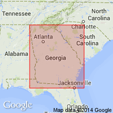
In GA, Mannie Member of Sequatchie Formation is only present along Taylor Ridge-Whiteoak Mountain where it is 27 m thick. Seems to occupy an erosional depression in the Shellmound Member. Consists of shales and bioturbated shaly sandstones, which are characterized by abundant trace fossils--CHONDRITES, TRICHOPHYCUS, SKOLITHOS, MONOCRATERION, and DIPLOCRATERION--and phosphatic granules. Unconformably underlies Red Mountain Formation. Depositional environment probably a quiet subtidal embayment.
Source: GNU records (USGS DDS-6; Reston GNULEX).
For more information, please contact Nancy Stamm, Geologic Names Committee Secretary.
Asterisk (*) indicates published by U.S. Geological Survey authors.
"No current usage" (†) implies that a name has been abandoned or has fallen into disuse. Former usage and, if known, replacement name given in parentheses ( ).
Slash (/) indicates name conflicts with nomenclatural guidelines (CSN, 1933; ACSN, 1961, 1970; NACSN, 1983, 2005, 2021). May be explained within brackets ([ ]).

