- Usage in publication:
-
- Manix beds
- Modifications:
-
- Original reference
- Dominant lithology:
-
- Clay
- Sand
- AAPG geologic province:
-
- Mojave basin
Summary:
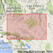
Pg. 444. Manix beds. Lake beds of arenaceous clays and fine argillaceous sands, both of light grayish green color; quartz, feldspar, and mica are the abundant coarser constituents. Most notable characteristic is evenness, persistence, and parallelism of individual strata. Thickness about 75 feet, but the beds thin out gradually toward west. Age is Pleistocene. Believed to be slightly younger than the Pleistocene fanglomerates.
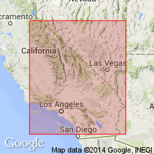
Are deposits of an extinct lake named Manix Lake. Well exposed along Mohave River 2 mi southeast of Manix, San Bernardino Co., southern CA, about 120 mi east of Los Angeles.
[GNC remark (n.d., GNC index card files, USGS Menlo Park, CA): On p. 444, 446, pl. 22, Buwalda called these deposits Manix beds; name was later changed to Manix lake beds (Thompson, 1929).]
Source: US geologic names lexicon (USGS Bull. 896, p. 1282); supplemental information from GNU records (USGS DDS-6; Menlo GNULEX).
- Usage in publication:
-
- Manix lake beds*
- Modifications:
-
- Adopted
- AAPG geologic province:
-
- Mojave basin
Summary:
Manix lake beds adopted by the USGS for use in its publications. Age is Pleistocene.
Source: GNC index card files (USGS-Reston; USGS-Menlo).
- Usage in publication:
-
- Manix Lake Beds*
- Modifications:
-
- Areal extent
- AAPG geologic province:
-
- Mojave basin
Summary:
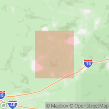
Pg. 45-46, pl. 2. Manix Lake Beds. Described in Alvord Mountain quadrangle, southern California, where beds occur chiefly between the 1,780- and 1,800-foot contours and mark approximate shoreline of Lake Manix in Pleistocene time. Mammalian vertebrate fossils and fossil birds collected from Manix Lake Beds suggest a late Pleistocene age.
Source: US geologic names lexicon (USGS Bull. 1200, p. 2353-2354).
- Usage in publication:
-
- Manix Lake Beds*
- Modifications:
-
- Revised
- AAPG geologic province:
-
- Mojave basin
Summary:
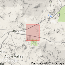
Manix Lake Beds [after Buwalda, 1914] are divided into three informal units (ascending): gravel bar, sand and silt, lake bed clay. Age is late Pleistocene based on fossils [birds] (citing Howard, 1955, USGS Prof. Paper 264-J).
Source: Publication; GNU records (USGS DDS-6; Menlo GNULEX).
- Usage in publication:
-
- Manix Formation
- Modifications:
-
- Revised
- Geochronologic dating
Summary:
Manix Beds of Buwalda (1914) are here named [revised] the Manix Formation. Age is Pleistocene based on isotopic ages [carbon-14] of 500 ka to 20 ka.
Source: GNU records (USGS DDS-6; Menlo GNULEX).
For more information, please contact Nancy Stamm, Geologic Names Committee Secretary.
Asterisk (*) indicates published by U.S. Geological Survey authors.
"No current usage" (†) implies that a name has been abandoned or has fallen into disuse. Former usage and, if known, replacement name given in parentheses ( ).
Slash (/) indicates name conflicts with nomenclatural guidelines (CSN, 1933; ACSN, 1961, 1970; NACSN, 1983, 2005, 2021). May be explained within brackets ([ ]).

