

- Usage in publication:
-
- Manhasset gravels and sands
- Modifications:
-
- Named
- Dominant lithology:
-
- Gravel
- Sand
- AAPG geologic province:
-
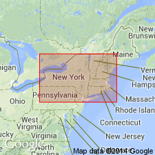
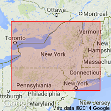
- Atlantic Coast basin
Summary:
Name Manhasset gravels and sands introduced for unit underlying Manhasset Neck, Great Neck, and Oyster Bay quad. Deposits are of pre-Wisconsinan (Pleistocene) age. Include a local glacial deposit called Manhasset boulder bed which is mapped along east side of Manhasset Neck.
Source: GNU records (USGS DDS-6; Reston GNULEX).
- Usage in publication:
-
- Manhasset (glacial)
- Modifications:
-
- Overview
- AAPG geologic province:
-
- Atlantic Coast basin
Summary:
Manhasset seems to represent waterlaid material when the ice was at no very great distance to the north. Deposit is younger than Sankaty interglacial beds (correlated with Yarmouth) and was followed by Vineyard interval of uplift and erosion. Is correlated with Iowan stage. Greater part of it is considered equivalent to the Tisbury of Woodworth. A portion of the folded Manhasset of Woodworth may be referable to the Jameco.
Source: GNU records (USGS DDS-6; Reston GNULEX).
- Usage in publication:
-
- Manhasset formation*
- Modifications:
-
- Revised
- AAPG geologic province:
-
- Atlantic Coast basin
Summary:
Manhasset gravels here referred to as Manhasset formation. Unit consists of glacial deposits, 150 to 250 ft thick, and is correlated with Illinoian stage of Mississippi Valley. Divided into ascending Herod gravel member, Montauk till member, and Hempstead gravel member. Contacts between members are unconformable.
Source: GNU records (USGS DDS-6; Reston GNULEX).
- Usage in publication:
-
- Manhasset formation*
- Modifications:
-
- Areal extent
- AAPG geologic province:
-
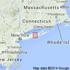
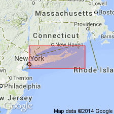
- New England province
Summary:
Manhasset formation is present on Block, Nantucket, Marthas Vineyard, No Mans Land, and Cape Cod.
Source: GNU records (USGS DDS-6; Reston GNULEX).
- Usage in publication:
-
- Manhasset formation
- Modifications:
-
- Age modified
- AAPG geologic province:
-
- Atlantic Coast basin
Summary:
Manhasset here regarded as Wisconsinan age.
Source: GNU records (USGS DDS-6; Reston GNULEX).
- Usage in publication:
-
- Manhasset formation*
- Modifications:
-
- Overview
- Age modified
- AAPG geologic province:
-
- Atlantic Coast basin
Summary:
Thickness of Manhasset is 150 to 200 ft. Includes (ascending) Herod gravel, Montauk till, and Hempstead gravel members. Overlies Jacob sand. Fuller (1914) believed Manhasset formation to be of Illinoian age and that an interglacial erosional interval, the Vineyard stage, intervened between period of deposition of the Manhasset and that of younger Wisconsin drift. Recent workers feel that lack of any noticeable difference in weathering between the Manhasset and younger Wisconsin drift, and absence of any generalized interglacial deposits, preclude existence of interglacial stage; thus, the Manhasset is believed to be of Wisconsin age.
Source: GNU records (USGS DDS-6; Reston GNULEX).
- Usage in publication:
-
- Manhasset Formation*
- Modifications:
-
- Revised
- AAPG geologic province:
-
- Atlantic Coast basin
Summary:
Unit is restricted to include only early Wisconsinan till and outwash in western Long Island. Subdivided into two newly named informal members: Flower Hill sand member and West Short Till member. Fuller's (1914) members not used. Age is Altonian.
Source: GNU records (USGS DDS-6; Reston GNULEX).
- Usage in publication:
-
- Manhasset Formation
- Modifications:
-
- Age modified
- AAPG geologic province:
-
- Atlantic Coast basin
Summary:
Authors review usage of Fuller (1914) who applied the name Manhasset with its three members (Hempstead, Montauk and Herod) to the Columbia formation of Woodworth. Fuller classified this formation as being older than the Vineyard erosion interval and assigned the Manhasset to the Illinoian. This report assigns the Manhasset of Fuller (including debris flows) to the Kansan(?), and interprets its origin as deltaic, deposited in Lake Long Island dammed on the south in part by pre-Ronkonkoma terminal-moraine ridge. Older than Gardiners Clay (Yarmouthian).
Source: GNU records (USGS DDS-6; Reston GNULEX).
For more information, please contact Nancy Stamm, Geologic Names Committee Secretary.
Asterisk (*) indicates published by U.S. Geological Survey authors.
"No current usage" (†) implies that a name has been abandoned or has fallen into disuse. Former usage and, if known, replacement name given in parentheses ( ).
Slash (/) indicates name conflicts with nomenclatural guidelines (CSN, 1933; ACSN, 1961, 1970; NACSN, 1983, 2005, 2021). May be explained within brackets ([ ]).