The National Geologic Map Database is migrating to a new infrastructure. We apologize for any service disruptions during this process.
|
|---|


- Usage in publication:
-
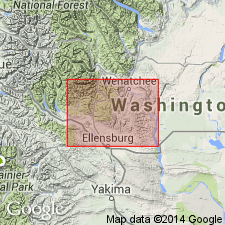
- Manastash formation*
- Modifications:
-
- First used
- AAPG geologic province:
-
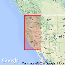
- Cascades province
Summary:
First use of the Manastash [formation]. Carbonaceous beds different in character from those of the Roslyn formation. Age is Eocene (younger than Roslyn).
Source: GNU records (USGS DDS-6; Menlo GNULEX).
- Usage in publication:
-
- Manastash formation*
- Modifications:
-
- Named
- Biostratigraphic dating
- Dominant lithology:
-
- Sandstone
- Shale
- Conglomerate
- AAPG geologic province:
-
- Cascades province
Summary:
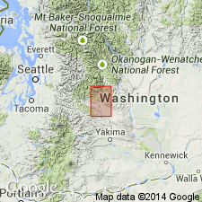
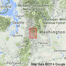
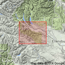
Unit is named the Manastash formation, [probably] named for Manastash Creek, [Kittitas Co.], WA. Consists of sandstones and shales. East of Frost Mountain the sandstones become massive and quartzose, with pebble bands. Shales contain seams of bone[?] and impure coal. Thickness on Taneum Creek is about 200 ft. Unconformably overlies the Easton schist; unconformably overlain by the Yakima basalt. Age is late Eocene based on fossils [plants].
Source: GNU records (USGS DDS-6; Menlo GNULEX).
- Usage in publication:
-
- Manastash formation*
- Modifications:
-
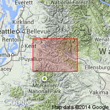
- Areal extent
- AAPG geologic province:
-
- Cascades province
Summary:
Manastash formation in geographically extended into the report area. Age is late Eocene.
Source: GNU records (USGS DDS-6; Menlo GNULEX).
- Usage in publication:
-
- Manastash Formation
- Modifications:
-
- Not used
- AAPG geologic province:
-
- Cascades province
Summary:
Rocks assigned to the Manastash Formation (Smith, 1904; Smith and Calkins, 1906) are considered to be part of the Naches Formation.
Source: GNU records (USGS DDS-6; Menlo GNULEX).
- Usage in publication:
-
- Manastash Formation*
- Modifications:
-
- Overview
- AAPG geologic province:
-
- Cascades province
Summary:
Manastash Formation consists of arkosic to quartzose sandstone, shale, and conglomerate containing minor coal beds. Stout (1964) included this unit in the Naches Formation. Age assignment based on plants is late Eocene and early Oligocene. Age is here considered to be Eocene (50 Ma) based on stratigraphic relationships.
Source: GNU records (USGS DDS-6; Menlo GNULEX).
- Usage in publication:
-
- Manastash Formation*
- Modifications:
-
- Age modified
- Areal extent
- AAPG geologic province:
-
- Cascades province
Summary:
Manastash Formation is geographically extended into the report area. Age is everywhere revised from Eocene to: early Eocene.
Source: GNU records (USGS DDS-6; Menlo GNULEX).
For more information, please contact Nancy Stamm, Geologic Names Committee Secretary.
Asterisk (*) indicates published by U.S. Geological Survey authors.
"No current usage" (†) implies that a name has been abandoned or has fallen into disuse. Former usage and, if known, replacement name given in parentheses ( ).
Slash (/) indicates name conflicts with nomenclatural guidelines (CSN, 1933; ACSN, 1961, 1970; NACSN, 1983, 2005, 2021). May be explained within brackets ([ ]).